Washington Park , Chicago
Map

Gallery

Facts and practical information
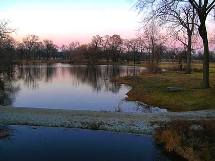
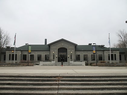
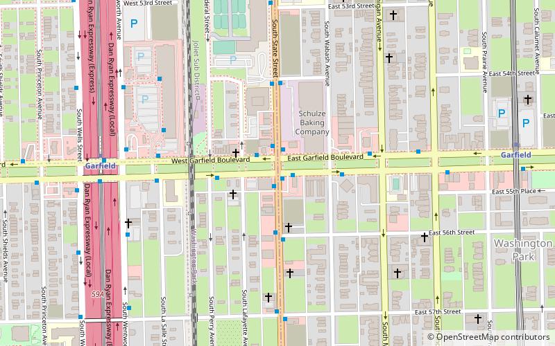
Washington Park is a community area on the South Side of Chicago which includes the 372 acre park of the same name, stretching east-west from Cottage Grove Avenue to the Dan Ryan Expressway, and north-south from 51st Street to 63rd. It is home to the DuSable Museum of African American History. The park was the proposed site of the Olympic Stadium and the Olympic Aquatics Center in Chicago's bid to host the 2016 Summer Olympics. ()
Area: 1.48 mi²Coordinates: 41°47'33"N, 87°37'5"W
Address
South Side (Washington Park)Chicago
ContactAdd
Social media
Add
Day trips
Washington Park – popular in the area (distance from the attraction)
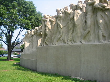
Nearby attractions include: Seminary Co-op Bookstore, Oriental Institute, Fountain of Time, Renaissance Society.
Frequently Asked Questions (FAQ)
Which popular attractions are close to Washington Park ?
Nearby attractions include Washington Park, Chicago (10 min walk), DuSable Museum of African American History, Chicago (14 min walk), Fountain of Time, Chicago (18 min walk), John Crerar Library, Chicago (21 min walk).
How to get to Washington Park by public transport?
The nearest stations to Washington Park :
Bus
Metro
Bus
- King Drive & 56th Street • Lines: 3 (3 min walk)
- Garfield Green Line Station EB • Lines: 55, (N) N55 (4 min walk)
Metro
- Garfield • Lines: Green, Red (18 min walk)
- 51st • Lines: Green (18 min walk)

 Rail "L"