Reservoir Hill, Baltimore
Map

Map

Facts and practical information
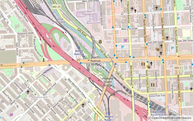
Reservoir Hill, also known as Whitelock, is a neighborhood in the city of Baltimore, Maryland, United States. It is located south of Druid Hill Park, north of Bolton Hill, east of Penn-North, and west of Jones Falls. It is bounded by Druid Park Lake Drive, the Jones Falls Expressway, North Avenue, and McCulloh Street. It is contained in the 21217 ZIP code. ()
Coordinates: 39°18'49"N, 76°37'60"W
Address
Central Baltimore (Reservoir Hill)Baltimore
ContactAdd
Social media
Add
Day trips
Reservoir Hill – popular in the area (distance from the attraction)
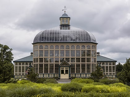
Nearby attractions include: Brown Memorial Presbyterian Church, Howard Peters Rawlings Conservatory and Botanic Gardens of Baltimore, Douglas Memorial Community Church, Baltimore Public Markets.
Frequently Asked Questions (FAQ)
Which popular attractions are close to Reservoir Hill?
Nearby attractions include David Bachrach House, Baltimore (4 min walk), Beth Am, Baltimore (7 min walk), Eutaw–Madison Apartment House Historic District, Baltimore (8 min walk), West Baltimore Innovation District, Baltimore (9 min walk).
How to get to Reservoir Hill by public transport?
The nearest stations to Reservoir Hill:
Bus
Metro
Light rail
Train
Bus
- North Avenue & Eutaw Place Westbound • Lines: Gd (6 min walk)
Metro
- Penn–North • Lines: M (14 min walk)
- Upton–Avenue Market • Lines: M (17 min walk)
Light rail
- North Avenue • Lines: Lr (15 min walk)
- Mount Royal/MICA • Lines: Lr (22 min walk)
Train
- Baltimore Penn Station (27 min walk)


