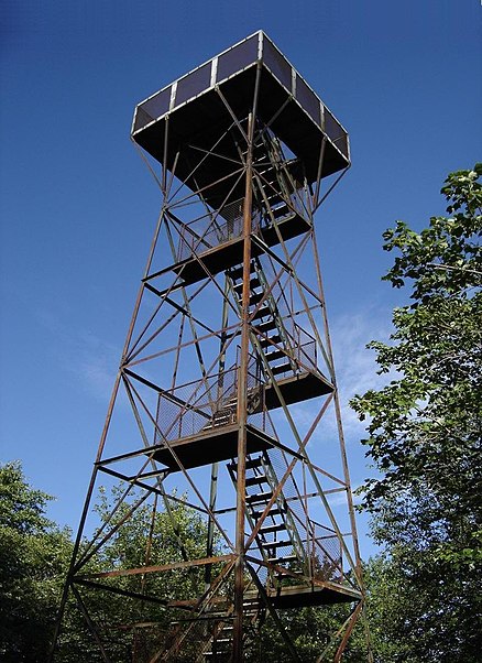
Mount Davis, Kooser State Park

Gallery (2)
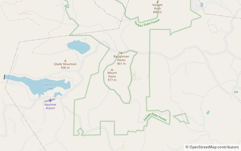
Map
Map
Gallery
Facts and practical information
Mount Davis is the highest point in Pennsylvania. Located in the 5,685-acre Forbes State Forest near the hamlet of Markleton in Elk Lick Township, Somerset County; it lies on a gentle crest of a 30-mile ridge line extending from central Somerset County southward into Garrett County, Maryland known as Negro Mountain. ()
Address
Kooser State Park
ContactAdd
Social media
Add