Charlevoix City Park Site, Charlevoix
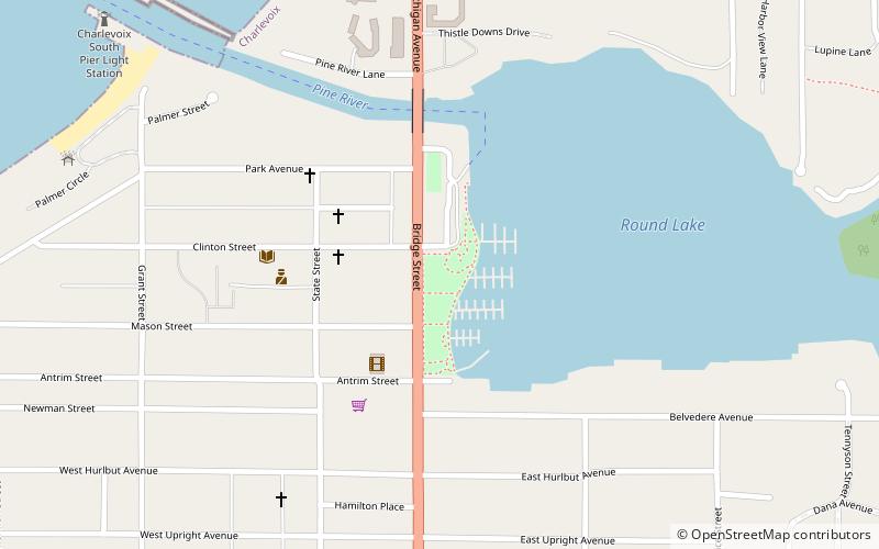
Map

Map

Facts and practical information
The Charlevoix City Park Site is an archaeological site located between Bridge Street and Round Lake in Charlevoix, Michigan. It was listed on the National Register of Historic Places in 1972. ()
Coordinates: 45°19'0"N, 85°15'30"W
Day trips
Charlevoix City Park Site – popular in the area (distance from the attraction)
Nearby attractions include: Belvedere Club, Pine River Site, Castle Farms, US 31–Island Lake Outlet Bridge.
Frequently Asked Questions (FAQ)
Which popular attractions are close to Charlevoix City Park Site?
Nearby attractions include US 31–Island Lake Outlet Bridge, Charlevoix (4 min walk), Pine River Site, Charlevoix (6 min walk), Charlevoix South Pier Light Station, Charlevoix (18 min walk).


