Tribeca, New York City

Gallery (10)
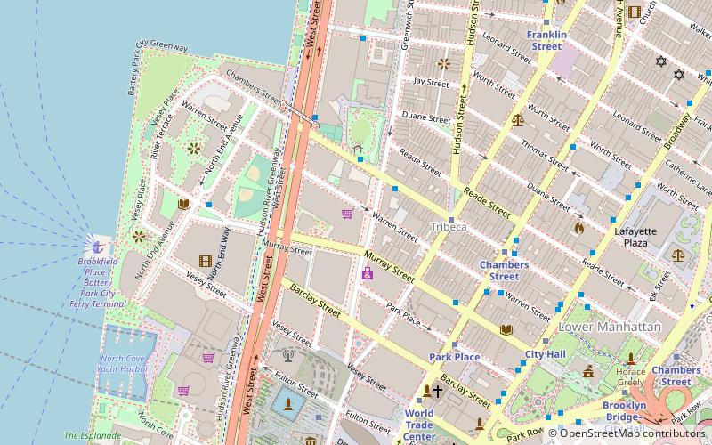
Map


Map

Gallery
Facts and practical information
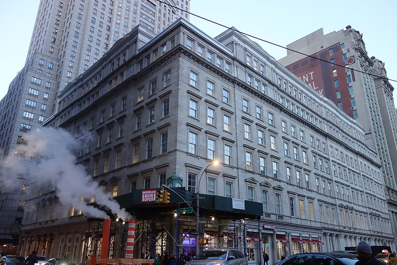
Tribeca, originally written as TriBeCa, is a neighborhood in Lower Manhattan in New York City. Its name is a syllabic abbreviation of "Triangle Below Canal Street". The "triangle" is bounded by Canal Street, West Street, Broadway, and Chambers Street. By the 2010s, a common marketing tactic was being used to extend Tribeca's southern boundary to either Vesey or Murray streets to increase the appeal of property listings. ()
Address
Downtown Manhattan (Tribeca)New York City
ContactAdd
Social media
Add
Getting there by public transportation
Public transportation stops near this location
- Metro
- Bus
- Ferry
 Metro
Metro
- Calculate routeChambers Street 3 min walk
- Calculate routePark Place 5 min walk
- Calculate routeChurch Street & Warren Street 3 min walk
- Calculate routeBroadway/Warren Street 5 min walk
- Calculate routeBrookfield Place / Battery Park City Ferry Terminal 12 min walk
- Calculate routePier 11/Wall Street Terminal 24 min walk
- Calculate routeBattery Park 25 min walk
- Calculate routeWhitehall 27 min walk
Maps SubwayMaps
 Manhattan Buses
SubwayMapsManhattan BusesDay trips
Tribeca – popular in the area (distance from the attraction)
Nearby attractions include: 280 Broadway, Woolworth Building, City Hall, African Burial Ground National Monument.


Frequently Asked Questions (FAQ)
Which popular attractions are close to Tribeca?
Nearby attractions include Chambers Street, New York City (1 min walk), Cary Building, New York City (2 min walk), 101 Warren Street, New York City (3 min walk), Church Street and Trinity Place, New York City (3 min walk).
How to get to Tribeca by public transport?
The nearest stations to Tribeca:
Metro
Bus
Ferry
Metro
- Chambers Street • Lines: 1, 2, 3, A, C (3 min walk)
- Park Place • Lines: 2, 3 (5 min walk)
Bus
- Church Street & Warren Street • Lines: 120 (3 min walk)
- Broadway/Warren Street • Lines: M55 (5 min walk)
Ferry
- Brookfield Place / Battery Park City Ferry Terminal (12 min walk)
- Pier 11/Wall Street Terminal (24 min walk)