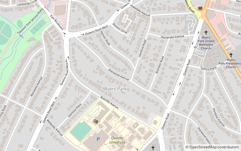
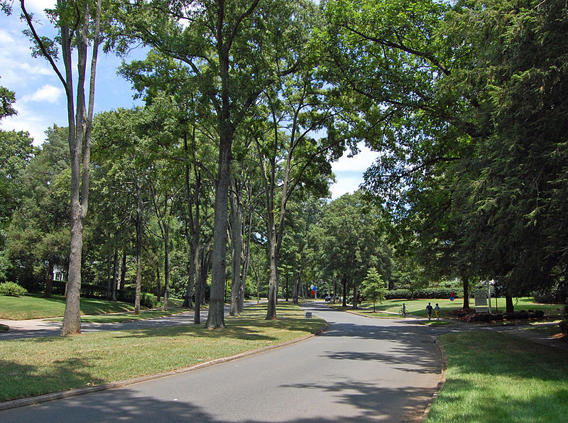
Myers Park, Charlotte

Gallery (3)
Map
Map
Gallery
Facts and practical information
Myers Park is a neighborhood and historic district in Charlotte, North Carolina, United States. ()
Coordinates: 35°11'33"N, 80°49'59"W
Address
Center City (Myers Park)Charlotte
ContactAdd
Social media
Add
Day trips


Frequently Asked Questions (FAQ)
Which popular attractions are close to Myers Park?
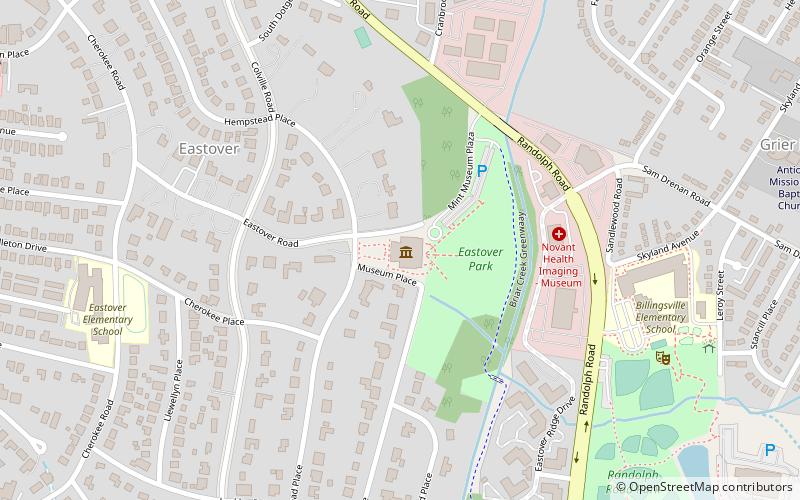
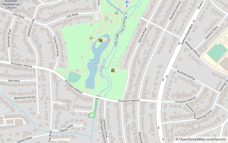
Nearby attractions include Queens University of Charlotte, Charlotte (7 min walk), Myers Park Presbyterian Church, Charlotte (10 min walk), Eastover, Charlotte (15 min walk), Freedom Park, Charlotte (16 min walk).