Beaver and Erie Canal, Erie
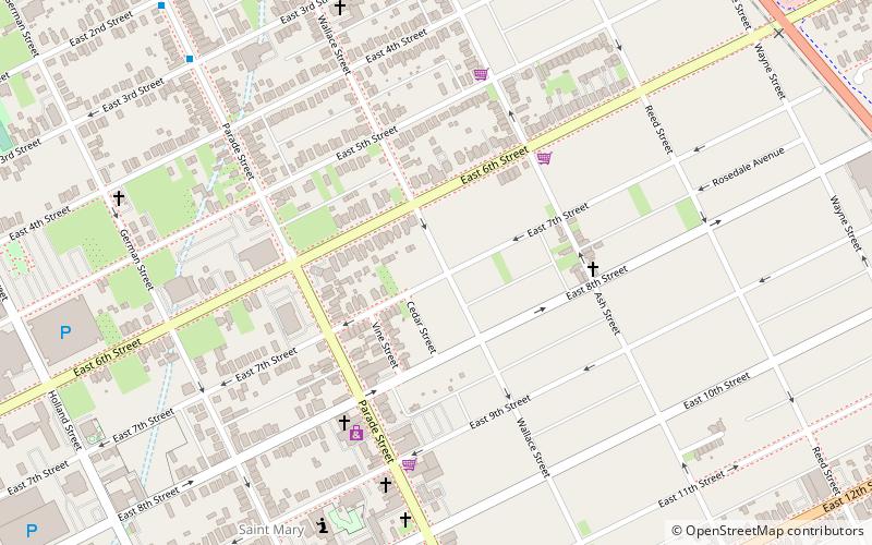
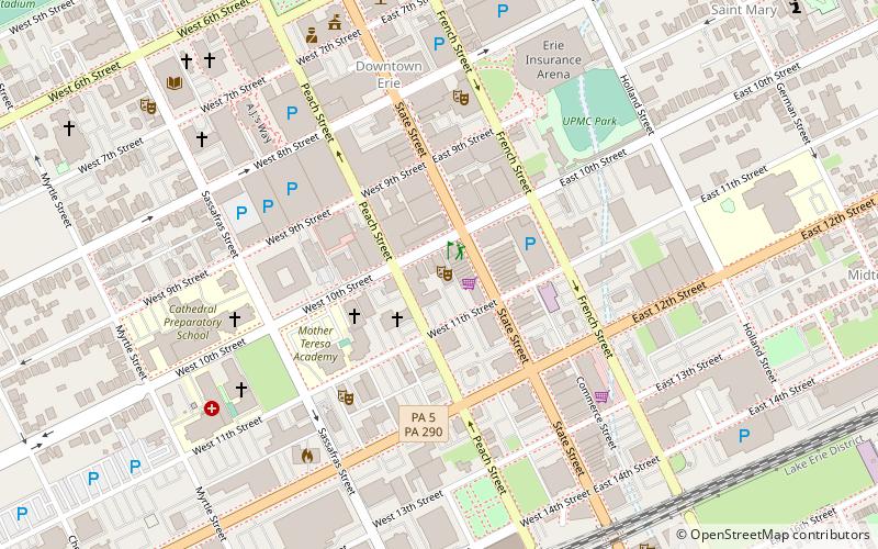
Map

Map

Facts and practical information
The Beaver and Erie Canal, also known as the Erie Extension Canal, was part of the Pennsylvania Canal system and consisted of three sections: the Beaver Division, the Shenango Division, and the Conneaut Division. The canal ran 136 miles north–south near the western edge of the state from the Ohio River to Lake Erie through Beaver County, Lawrence County, Mercer County, Crawford County, and Erie County, Pennsylvania. ()
Coordinates: 42°7'57"N, 80°4'26"W
Address
East Erie (St. Mary)Erie
ContactAdd
Social media
Add
Day trips
Beaver and Erie Canal – popular in the area (distance from the attraction)
Nearby attractions include: Erie Insurance Arena, UPMC Park, Bicentennial Tower, Erie Art Museum.
Frequently Asked Questions (FAQ)
Which popular attractions are close to Beaver and Erie Canal?
Nearby attractions include Federal Row, Erie (12 min walk), Erie Insurance Arena, Erie (13 min walk), UPMC Park, Erie (13 min walk), Saint Patrick Parish, Erie (14 min walk).
How to get to Beaver and Erie Canal by public transport?
The nearest stations to Beaver and Erie Canal:
Bus
Train
Bus
- Erie Greyhound Station • Lines: 0010 (17 min walk)
Train
- Erie (24 min walk)


