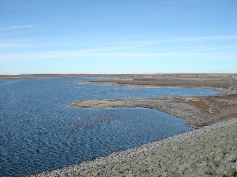
Cedar Bluff Reservoir, Cedar Bluff State Park
Gallery (1)
Map
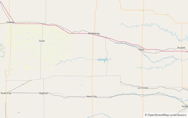
Map
Facts and practical information
Cedar Bluff Reservoir is a reservoir in Trego County, Kansas, United States. Built and managed by the U.S. Bureau of Reclamation for irrigation and area water supply, it is also used for flood control and recreation. Cedar Bluff State Park is located on its shore. ()
Built: 1 April 1949 (76 years ago)Length: 9 miMaximum depth: 42 ftElevation: 2149 ft a.s.l.Coordinates: 38°47'30"N, 99°52'42"W
Address
Cedar Bluff State Park
ContactAdd
Social media
Add