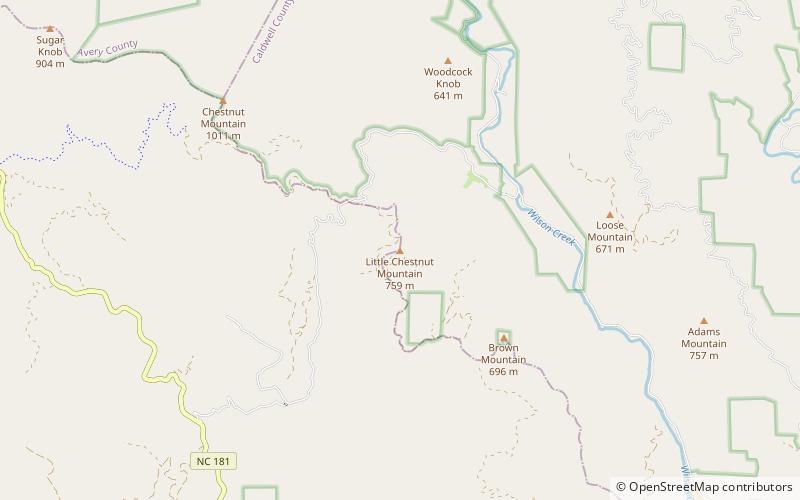
Little Chestnut Mountain, Pisgah National Forest
Map

Map

Facts and practical information
Chestnut Mountain is a mountain in the North Carolina High Country, United States, and wholly in the Pisgah National Forest. Its elevation reaches 2,480 feet and is split between Burke County and Caldwell counties. The mountain generates feeder streams for the Catawba River. ()
Elevation: 2480 ftCoordinates: 35°56'28"N, 81°46'36"W
Address
Pisgah National Forest
ContactAdd
Social media
Add
Day trips
Little Chestnut Mountain – popular in the area (distance from the attraction)
Nearby attractions include: Chestnut Mountain, Adams Mountain, Brown Mountain.


