Sweet Springs Historic District, Sweet Springs

Map
Facts and practical information
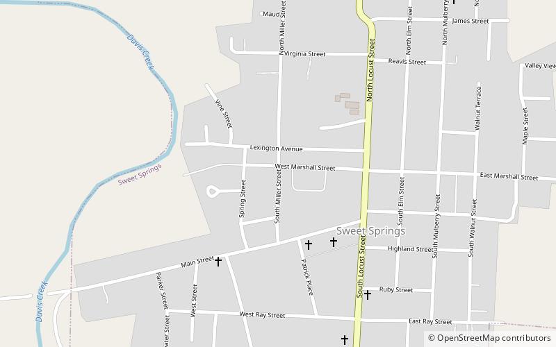
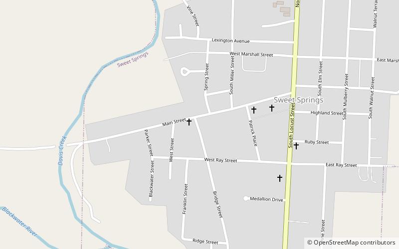
Sweet Springs Historic District is a national historic district located at Sweet Springs, Saline County, Missouri. The district encompasses 18 contributing buildings in the central business district of Sweet Springs. It developed between about 1875 and 1947, and includes representative examples of Queen Anne and Classical Revival style architecture. Notable buildings include the Sweet Springs Post Office, McEntire & Son Jewelry/Post Office, Chemical Bank, and Barbee Lodge 217 AF&AM. ()
Coordinates: 38°57'54"N, 93°25'4"W
Address
Sweet Springs
ContactAdd
Social media
Add
Day trips
Sweet Springs Historic District – popular in the area (distance from the attraction)
Nearby attractions include: First Christian Church.
