Blue Range Wilderness
Map

Map

Facts and practical information
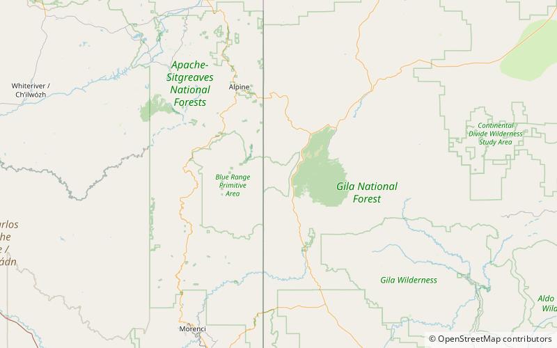
Blue Range Wilderness, along with Aldo Leopold Wilderness and Gila Wilderness, is part of Gila National Forest. It is located on the western border of New Mexico and west of U.S. Route 180 between Reserve and Glenwood. The wilderness is crossed by the Mogollon Rim. It became part of the National Wilderness Preservation System in 1980. ()
Established: 1980 (46 years ago)Elevation: 6001 ft a.s.l.Coordinates: 33°33'40"N, 108°59'13"W
Location
New Mexico
ContactAdd
Social media
Add
