Boon Island

Map
Facts and practical information
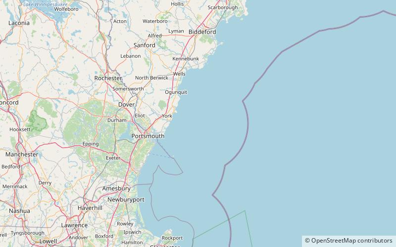
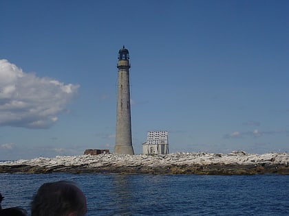
Boon Island is a barren rocky island in the Gulf of Maine 6 mi off the coast of York, Maine. The island, which is approximately 300 ft by 700 ft at low tide, is the site of Boon Island Light, at 137 ft high, it is the tallest lighthouse in New England. Numerous vessels have been wrecked on its rocky shoreline. John Winthrop, the English Puritan lawyer and one of the leading figures in founding the Massachusetts Bay Colony mentions passing Boon Island in the 1600s. ()
Coordinates: 43°7'15"N, 70°28'35"W
Location
Maine
ContactAdd
Social media
Add
Day trips
Boon Island – popular in the area (distance from the attraction)
Nearby attractions include: Boon Island Light.
