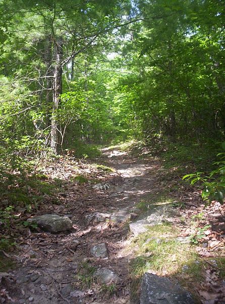
Wild Oak Trail, Lost River State Park

Gallery (4)
Map

Map
Gallery
Facts and practical information
The Wild Oak Trail is a 27.0-mile National Recreation Trail located in the Ridge-and-Valley Appalachians in Central Virginia, United States. It is part of George Washington National Forest. The trail is a loop, and begins at the headwaters of the North River, and traverses up to several ridge tops. Due to the trail's difficulty and length, it sees little traffic. ()
Length: 25.6 miMaximum elevation: 4351 ftMinimal elevation: 1600 ftCoordinates: 38°23'42"N, 79°15'29"W
Address
Lost River State Park
ContactAdd
Social media
Add
Day trips