Boulder River Waterfalls, Boulder River Wilderness
Map
Facts and practical information
The Boulder River is home to 3 waterfalls, one just below its headwaters and the other 2 closer to its mouth. Below are descriptions of all 3: ()
Width: 40 ftHeight: 400 ftCoordinates: 48°10'18"N, 121°41'38"W
Day trips
Boulder River Waterfalls – popular in the area (distance from the attraction)
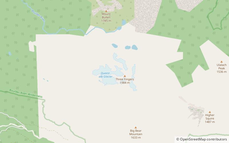
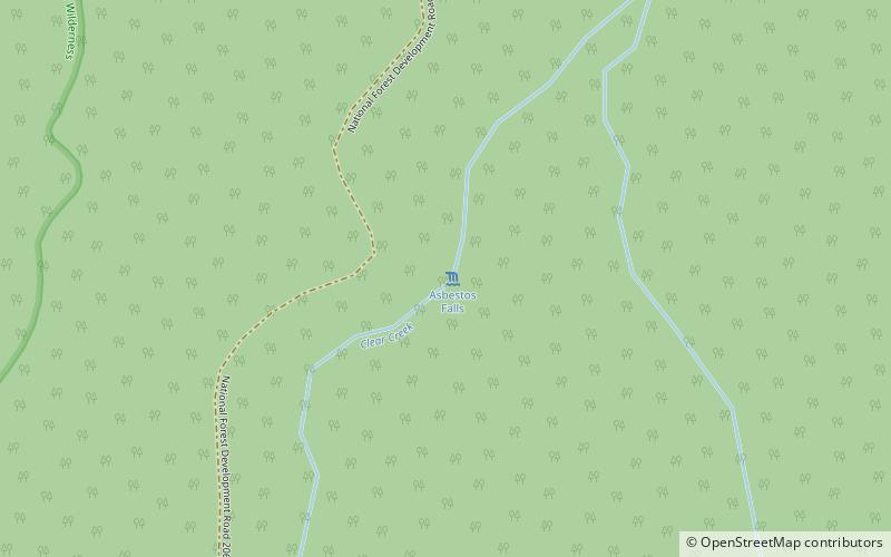
Nearby attractions include: Three Fingers, Whitehorse Mountain, Asbestos Falls, So-Bahli-Alhi Glacier.


Frequently Asked Questions (FAQ)
Which popular attractions are close to Boulder River Waterfalls?
Nearby attractions include Queest-alb Glacier, Boulder River Wilderness (6 min walk), Three Fingers, Boulder River Wilderness (8 min walk).