Mount Tabor, Portland
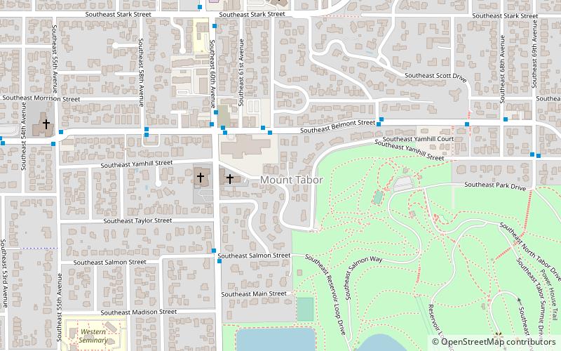
Map

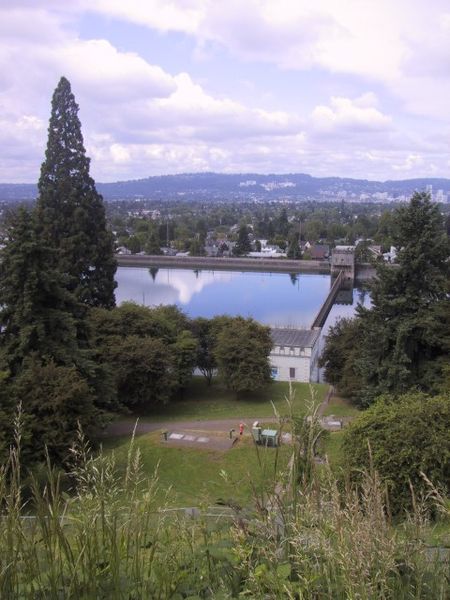
Gallery

Facts and practical information
Mount Tabor is the name of a volcanic cinder cone, the city park on the volcano, and the neighborhood of Southeast Portland that surrounds it, all in the U.S. state of Oregon. The name refers to Mount Tabor, Israel. It was named by Plympton Kelly, son of Oregon City pioneer resident Clinton Kelly. ()
Coordinates: 45°30'57"N, 122°35'60"W
Day trips
Mount Tabor – popular in the area (distance from the attraction)
Nearby attractions include: Mount Tabor, Fubonn Shopping Center, Bagdad Theatre, Hawthorne Theatre.
Frequently Asked Questions (FAQ)
Which popular attractions are close to Mount Tabor?
Nearby attractions include William B. Holden House, Portland (2 min walk), Samuel Cobb House, Portland (10 min walk), Philip Buehner House, Portland (11 min walk), William E. Brainard House, Portland (11 min walk).
How to get to Mount Tabor by public transport?
The nearest stations to Mount Tabor:
Bus
Light rail
Bus
- Southeast Belmont & 62nd • Lines: 15 (2 min walk)
- Southeast 60th & Belmont • Lines: 71 (4 min walk)
Light rail
- Northeast 60th Avenue • Lines: Blue, Green, Red (23 min walk)
- Hollywood/Northeast 42nd Avenue Transit Center • Lines: Blue, Green, Red (40 min walk)


