Valdosta Commercial Historic District, Valdosta
Map
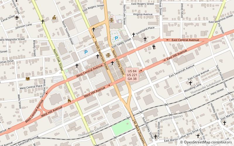
Map

Facts and practical information
The Valdosta Commercial Historic District in Valdosta, Georgia is a historic district that was listed on the National Register of Historic Places in 1983 and expanded in 2002. It includes 81 contributing resources and 23 non-contributing resources. The original listing included all or part of nine city blocks in a roughly square 25 acres area. The expansion listing added 2 acres with six contributing buildings and its documentation revised the classification of some of the original area's properties. ()
Area: 27 acres (0.0422 mi²)Coordinates: 30°49'53"N, 83°16'43"W
Address
Valdosta
ContactAdd
Social media
Add
Day trips
Valdosta Commercial Historic District – popular in the area (distance from the attraction)
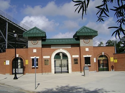
Nearby attractions include: Bazemore–Hyder Stadium, Carnegie Library of Valdosta, The Crescent, Valdosta State University.
Frequently Asked Questions (FAQ)
Which popular attractions are close to Valdosta Commercial Historic District?
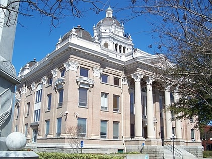
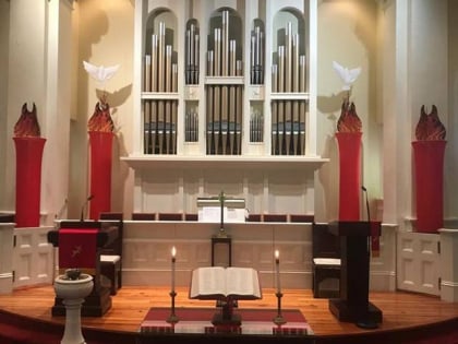
Nearby attractions include Lowndes County Courthouse, Valdosta (3 min walk), First Presbyterian Church, Valdosta (6 min walk), Carnegie Library of Valdosta, Valdosta (10 min walk), Fairview Historic District, Valdosta (11 min walk).

