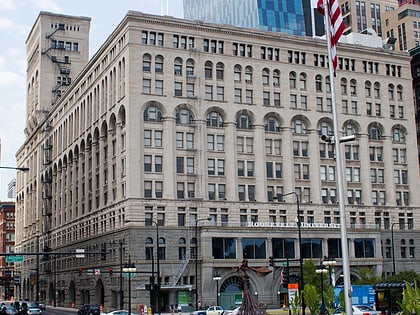
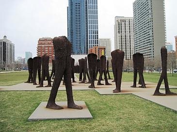
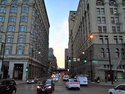
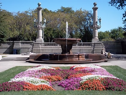
8th Street Fountain, Chicago
Map
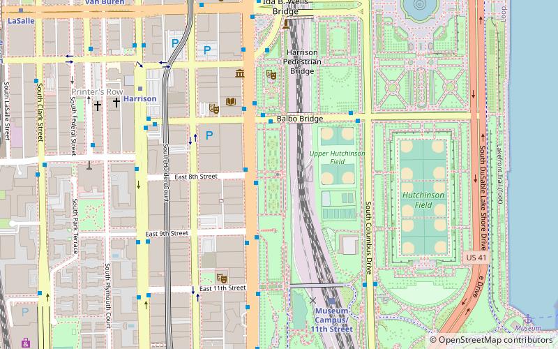
Map

Facts and practical information
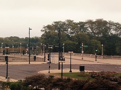
The 8th Street Fountain was erected in 1927 and was created by architects Bennett, Parsons, and Frost. It is located in Chicago's Grant Park in the U.S. state of Illinois. ()
Completed: 1927 (99 years ago)Coordinates: 41°52'19"N, 87°37'24"W
Address
Downtown (The Loop)Chicago
ContactAdd
Social media
Add
Day trips
8th Street Fountain – popular in the area (distance from the attraction)
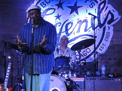
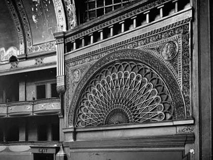
Nearby attractions include: Grant Park, Buddy Guy's Legends, Buckingham Fountain, Second Leiter Building.
Frequently Asked Questions (FAQ)
Which popular attractions are close to 8th Street Fountain?
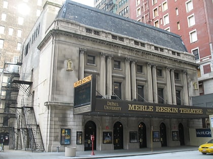
Nearby attractions include Merle Reskin Theatre, Chicago (4 min walk), Spertus Institute for Jewish Learning and Leadership, Chicago (5 min walk), Anchor Graphics, Chicago (5 min walk), Museum of Contemporary Photography, Chicago (6 min walk).
How to get to 8th Street Fountain by public transport?
The nearest stations to 8th Street Fountain:
Bus
Train
Metro
Bus
- Michigan & 8th Street • Lines: 1, 3, 4, (N) N4 (2 min walk)
- Balbo & Michigan • Lines: 10, 2, 26, 28, 6, J14 (3 min walk)
Train
- Museum Campus/11th Street (6 min walk)
- Van Buren Street (9 min walk)
Metro
- Harrison • Lines: Red (8 min walk)
- Roosevelt • Lines: Green, Orange, Red (10 min walk)
 Rail "L"
