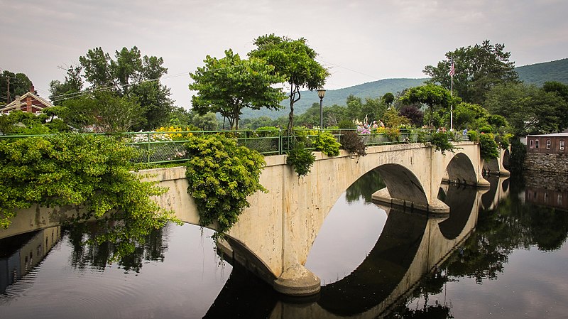
Bridge of Flowers, Shelburne Falls

Gallery (2)
Map
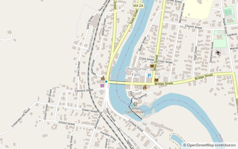
Map
Gallery
Facts and practical information
The Bridge of Flowers is in Shelburne Falls, Massachusetts, connecting the towns of Shelburne and Buckland. The seasonal footbridge – once a trolley bridge – has a garden of flowers covering it. It is only open between April and October. ()
Opened: 1908 (118 years ago)Elevation: 397 ft a.s.l.Coordinates: 42°36'15"N, 72°44'26"W
Day trips


