Otterbein, Baltimore
Map
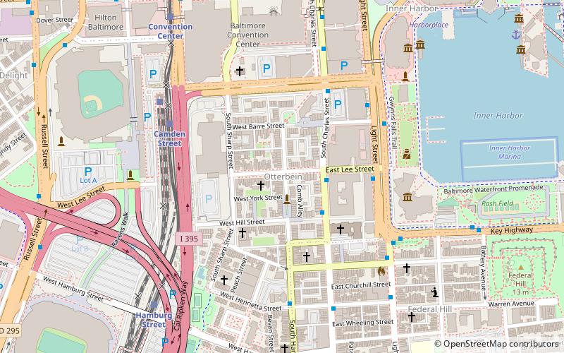
Map

Facts and practical information
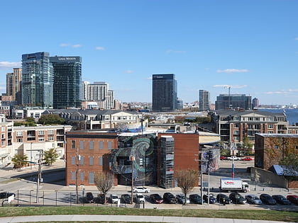
Otterbein is a small neighborhood of historic rowhouses in Baltimore, Maryland, United States. Otterbein is immediately southwest of, and in close walking distance to, the Inner Harbor. The neighborhood is very compact, entirely located between Hanover Street and Sharp Street, and between Barre Street and Henrietta Street. It is in small parts of zip codes 21201 and 21230. It is named for Old Otterbein Church, located immediately north of the neighborhood. ()
Coordinates: 39°16'55"N, 76°36'58"W
Address
Southern Baltimore (Otterbein)Baltimore
ContactAdd
Social media
Add
Day trips
Otterbein – popular in the area (distance from the attraction)
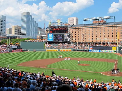
Nearby attractions include: Oriole Park at Camden Yards, M&T Bank Stadium, Baltimore Heritage Walk, Maryland Science Center.
Frequently Asked Questions (FAQ)
Which popular attractions are close to Otterbein?
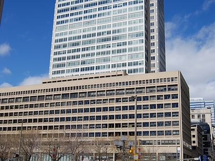
Nearby attractions include Towers at Harbor Court, Baltimore (3 min walk), Little Montgomery Street Historic District, Baltimore (4 min walk), Otterbein Church, Baltimore (5 min walk), Sports Legends Museum at Camden Yards, Baltimore (6 min walk).
How to get to Otterbein by public transport?
The nearest stations to Otterbein:
Bus
Light rail
Train
Metro
Bus
- Lee Street • Lines: Banner, Purple (4 min walk)
- Otterbein • Lines: Banner (5 min walk)
Light rail
- Camden Yards • Lines: Lr (6 min walk)
- Stadium/Federal Hill • Lines: Lr (8 min walk)
Train
- Baltimore Camden Station (6 min walk)
Metro
- Charles Center • Lines: M (14 min walk)
- Shot Tower/Market Place • Lines: M (20 min walk)

