Broad Dyke, New Castle

Map
Facts and practical information
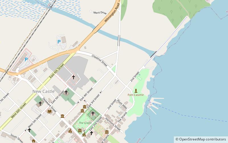
Broad Dyke is an original dyke in the United States built by the Dutch in 1655 in New Castle, Delaware. It is the center of the twelve mile circle that forms the arc that marks the northern state line. It was surveyed in 1701 by Empson and Pusey. ()
Coordinates: 39°39'48"N, 75°33'40"W
Address
New Castle
ContactAdd
Social media
Add
Day trips
Broad Dyke – popular in the area (distance from the attraction)
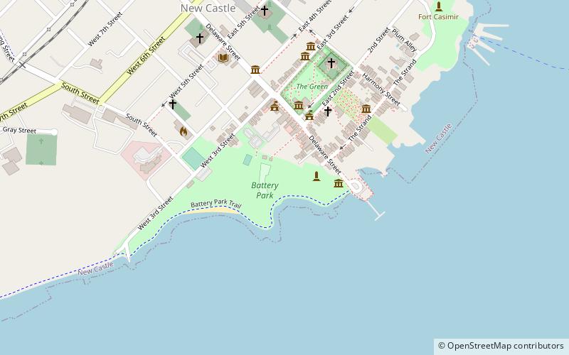
Nearby attractions include: New Castle Court House Museum, Amstel House, Immanuel Episcopal Church on the Green, New Castle Presbyterian Church.
Frequently Asked Questions (FAQ)
Which popular attractions are close to Broad Dyke?
Nearby attractions include Immanuel Episcopal Church on the Green, New Castle (5 min walk), George Read II House, New Castle (7 min walk), First State National Historical Park, New Castle (7 min walk), New Castle Presbyterian Church, New Castle (7 min walk).


