Black Butte, Beaverhead–Deerlodge National Forest

Gallery (1)
Map
Map
Facts and practical information
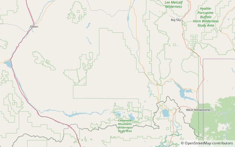
Black Butte, el. 10,547 feet is the highest peak in the Gravelly Range in Madison County, Montana. The eastern base of the peak is less than 1 mile from the Beaverhead-Deerlodge National Forest road #290. ()
Elevation: 10547 ftProminence: 3182 ftCoordinates: 44°54'16"N, 111°51'18"W
Address
Beaverhead–Deerlodge National Forest
ContactAdd
Social media
Add