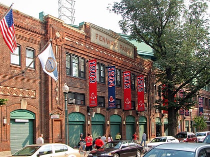
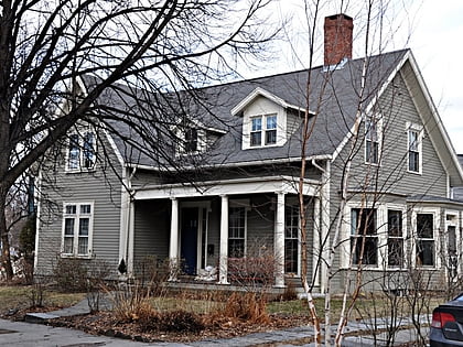
Brookline, Boston
Map
Gallery
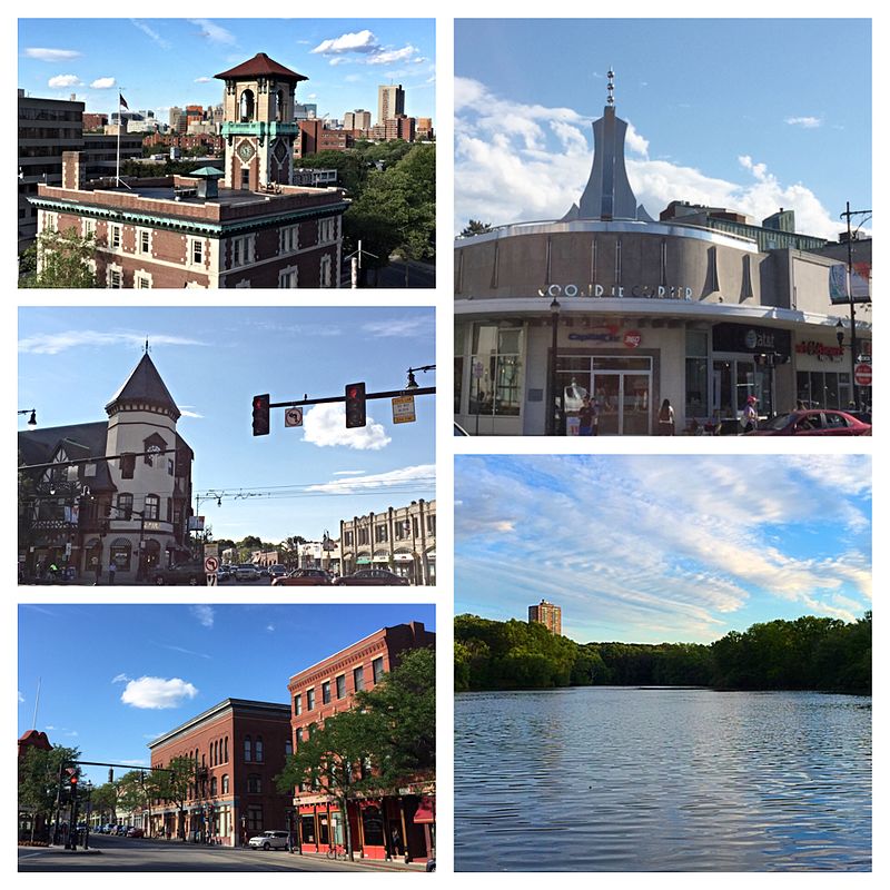
Facts and practical information
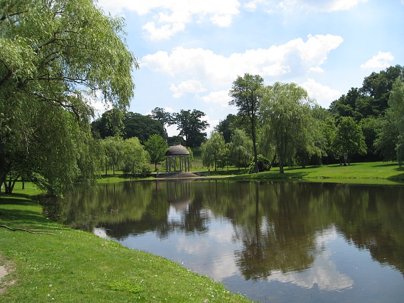
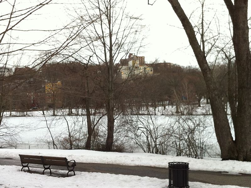
Brookline is a town in Norfolk County, Massachusetts, in the United States, and part of the Boston metropolitan area. Brookline borders six of Boston's neighborhoods: Brighton, Allston, Fenway–Kenmore, Mission Hill, Jamaica Plain, and West Roxbury. The city of Newton lies to the west of Brookline. Brookline was first settled in 1638 as a hamlet in Boston, known as Muddy River; it was incorporated as a separate town in 1705. ()
Day trips
Brookline – popular in the area (distance from the attraction)
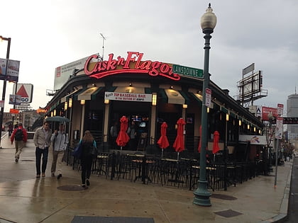
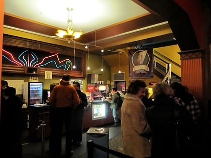
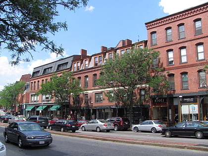
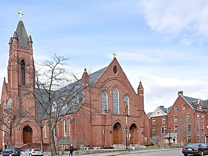
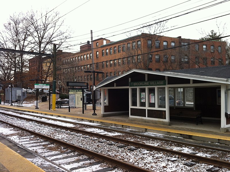
Nearby attractions include: Cask 'n Flagon, Coolidge Corner Theatre, Brookline Village, Saint Mary of the Assumption Church.
Frequently Asked Questions (FAQ)
Which popular attractions are close to Brookline?
Nearby attractions include Cypress–Emerson Historic District, Boston (3 min walk), Hotel Kempsford, Boston (5 min walk), Brookline Village, Boston (5 min walk), Hotel Adelaide, Boston (5 min walk).
How to get to Brookline by public transport?
The nearest stations to Brookline:
Light rail
Bus
Metro
Train
Light rail
- Brookline Village • Lines: D (7 min walk)
- Riverway • Lines: E (13 min walk)
Bus
- Longwood Ave @ Brookline Ave • Lines: 8 (23 min walk)
- Brookline Ave @ Short St • Lines: 8 (26 min walk)
Metro
- Jackson Square • Lines: Orange (33 min walk)
- Stony Brook • Lines: Orange (35 min walk)
Train
- Lansdowne (40 min walk)
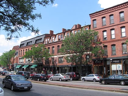


 MBTA Subway