Salmon Falls, Hagerman

Map
Facts and practical information
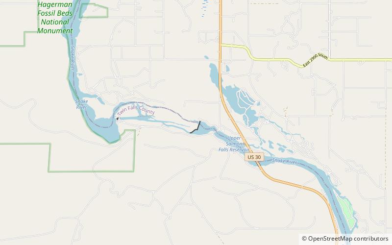
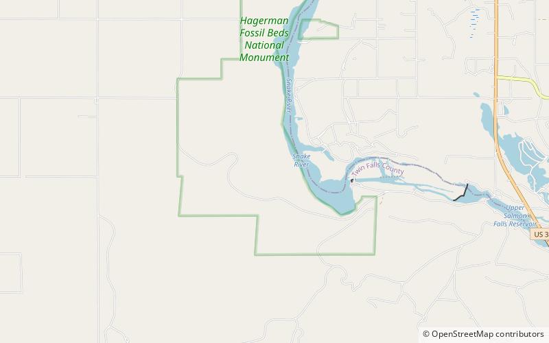
Salmon Falls, is the series of falls on the Snake River, in Twin Falls County, Idaho, comprising the Upper Salmon Falls and Lower Salmon Falls, near Hagerman. The Upper Salmon Falls are about 40 miles West of Shoshone Falls. Lower Salmon Falls is about 5 miles downstream from Upper Salmon Falls. The Lower Falls have been cut off by the Lower Salmon Falls Dam and most of it inundated by the reservoir. ()
Coordinates: 42°46'0"N, 114°53'49"W
Address
Hagerman
ContactAdd
Social media
Add
Day trips
Salmon Falls – popular in the area (distance from the attraction)
Nearby attractions include: Hagerman Fossil Beds National Monument, Miracle & Banbury Hot Springs, Thousand Springs State Park, Hagerman Wildlife Management Area.


