Bulkeley Bridge, Hartford
Map

Map

Facts and practical information
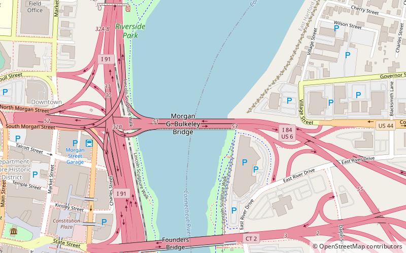
The Bulkeley Bridge is the oldest of three highway bridges over the Connecticut River in Hartford, Connecticut. A stone arch bridge composed of nine spans, the bridge carries Interstate 84, U.S. Route 6, and U.S. Route 44 across the river, connecting Hartford to East Hartford. As of 2005 the bridge carried an average daily traffic of 142,500 cars. The arches are mounted on stone piers, and vary in length from 68 feet to 119 feet; the total length of the bridge is 1,192 feet. ()
Opened: 1908 (118 years ago)Length: 1075 ftWidth: 110 ftCoordinates: 41°46'10"N, 72°39'53"W
Address
Hartford
ContactAdd
Social media
Add
Day trips
Bulkeley Bridge – popular in the area (distance from the attraction)
Nearby attractions include: XL Center, Wadsworth Atheneum, Old State House, Dunkin' Donuts Park.
Frequently Asked Questions (FAQ)
Which popular attractions are close to Bulkeley Bridge?
Nearby attractions include Founders Bridge, Hartford (7 min walk), Mortensen Riverfront Plaza, Hartford (9 min walk), Connecticut Science Center, Hartford (10 min walk), Phoenix Life Insurance Company Building, Hartford (11 min walk).
How to get to Bulkeley Bridge by public transport?
The nearest stations to Bulkeley Bridge:
Bus
Train
Bus
- Hartford Megabus (7 min walk)
- Hartford Union Station (23 min walk)
Train
- Hartford (23 min walk)


