Chicago Drive Bridge, Grand Rapids
Map

Map

Facts and practical information
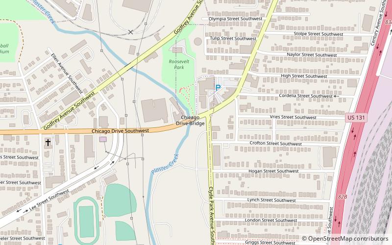
The Chicago Drive Bridge, also known as the Business Route M-21–Plaster Creek Bridge, is a bridge in Wyoming, Michigan, carrying Business Spur I-196 over Plaster Creek. It was listed on the National Register of Historic Places in 1999. ()
Built: 1916 (110 years ago)Coordinates: 42°56'9"N, 85°41'14"W
Address
WyomingGrand Rapids
ContactAdd
Social media
Add
Day trips
Chicago Drive Bridge – popular in the area (distance from the attraction)
Nearby attractions include: Van Andel Arena, Rogers Plaza, Cathedral of Saint Andrew, Meyer May House.
Frequently Asked Questions (FAQ)
How to get to Chicago Drive Bridge by public transport?
The nearest stations to Chicago Drive Bridge:
Bus
Bus
- Cottage Grove • Lines: 90 (26 min walk)
- Hall Street • Lines: 90 (29 min walk)


