Byram School, Greenwich
Map

Map

Facts and practical information
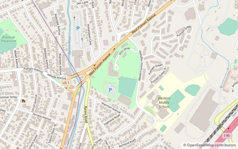
The Byram School is a historic former school building, located between Sherman Avenue and Western Junior Highway in Greenwich, Connecticut. Completed in 1926, it is a well-preserved example of institutional Colonial Revival architecture, enhanced by a parklike setting. It was used as a school until 1978, and was then converted to senior housing. The building was listed on the National Register of Historic Places on August 2, 1990. ()
Built: 1925 (101 years ago)Elevation: 92 ft a.s.l.Coordinates: 41°0'46"N, 73°39'9"W
Address
ByramGreenwich
ContactAdd
Social media
Add
Day trips
Byram School – popular in the area (distance from the attraction)
Nearby attractions include: Greenwich Library, Greenwich Town Hall, St. Roch Church, Port Chester.
Frequently Asked Questions (FAQ)
Which popular attractions are close to Byram School?
Nearby attractions include Thomas Lyon House, Greenwich (4 min walk), St. Roch Church, Greenwich (18 min walk).
How to get to Byram School by public transport?
The nearest stations to Byram School:
Train
Train
- Port Chester (24 min walk)


