Printer's Alley, Nashville
Map
Map

Facts and practical information
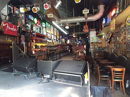
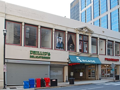
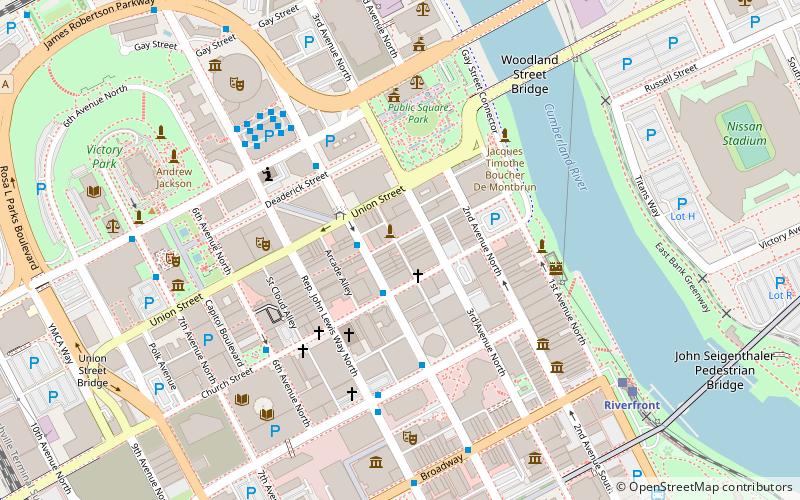
Printer's Alley is a famous alley in downtown Nashville, Tennessee, U.S. between Third and Fourth Avenues, running from Union Street to Commerce Street. The portion of the alley between Union and Church Street is the home of a nightclub district that dates back to the 1940s. ()
Coordinates: 36°9'52"N, 86°46'43"W
Address
Between 3rd Ave N & 4th Ave NDowntown NashvilleNashville 37201
Contact
Social media
Add
Day trips
Printer's Alley – popular in the area (distance from the attraction)
Nearby attractions include: Ryman Auditorium, Bridgestone Arena, Nissan Stadium, Robert's Western World.
Frequently Asked Questions (FAQ)
Which popular attractions are close to Printer's Alley?
Nearby attractions include UBS Tower, Nashville (3 min walk), Fifth Third Center, Nashville (3 min walk), First American Cave, Nashville (3 min walk), Downtown Presbyterian Church, Nashville (3 min walk).
How to get to Printer's Alley by public transport?
The nearest stations to Printer's Alley:
Bus
Train
Bus
- 4th Avenue & Arcade Southbound • Lines: 18 (2 min walk)
Train
- Riverfront (9 min walk)


