Caloosahatchee Bridge, Fort Myers
Map

Gallery

Facts and practical information
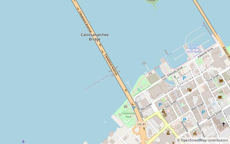
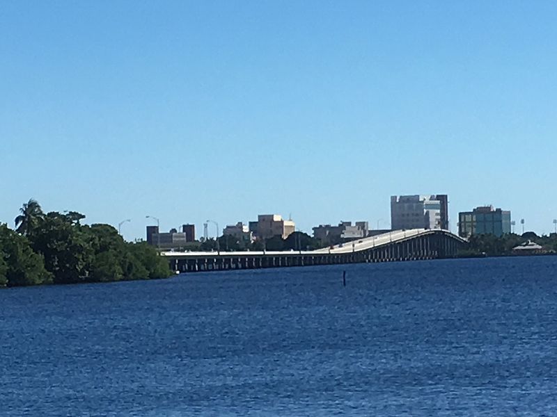
The Caloosahatchee Bridge is a bridge located in Fort Myers, Florida. It carries U.S. Highway 41 over the Caloosahatchee River, which is where its name comes from. The bridge has four lanes and is 55 feet tall. ()
Opened: 1964 (62 years ago)Coordinates: 26°38'46"N, 81°52'30"W
Address
Fort Myers
ContactAdd
Social media
Add
Day trips
Caloosahatchee Bridge – popular in the area (distance from the attraction)
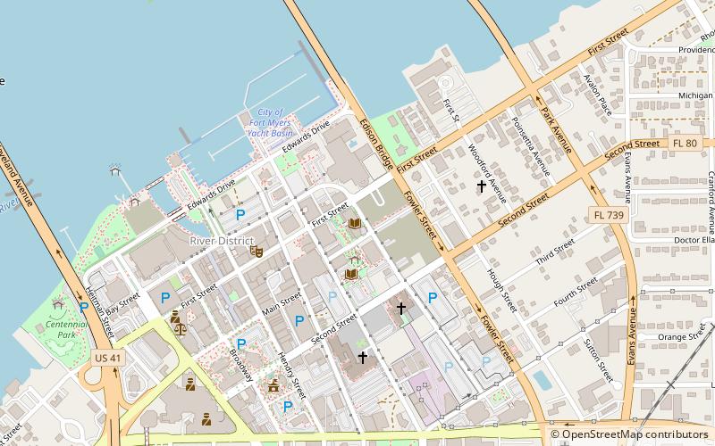
Nearby attractions include: Edison and Ford Winter Estates, Murphy-Burroughs House, Southwest Florida Museum of History, Edison Bridge.
Frequently Asked Questions (FAQ)
Which popular attractions are close to Caloosahatchee Bridge?
Nearby attractions include River District, Fort Myers (8 min walk), The Sidney & Berne Davis Art Center, Fort Myers (11 min walk), Lee County Library System, Fort Myers (13 min walk), Murphy-Burroughs House, Fort Myers (15 min walk).
How to get to Caloosahatchee Bridge by public transport?
The nearest stations to Caloosahatchee Bridge:
Bus
Bus
- Rosa Parks Transportation Center (17 min walk)


