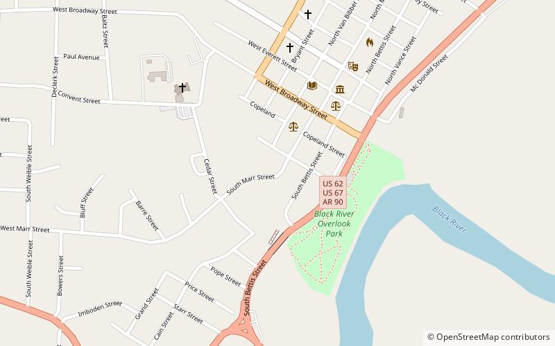
Marr's Creek Bridge, Pocahontas

Map
Facts and practical information
The Marr's Creek Bridge is a historic bridge spanning Marr's Creek in Pocahontas, Arkansas. The concrete open spandrel deck arch bridge formerly carried U.S. Route 67, which now passes over the creek on an adjacent modern steel and concrete structure. When built in 1934 by the Public Works Administration, the bridge had a total length of 135 feet, with six spans, including the main arch across the creek. The bridge was widened slightly at its eastern end in 1950 to accommodate a slight curve. ()
Built: 1934 (92 years ago)Coordinates: 36°15'35"N, 90°58'19"W
Address
Pocahontas
ContactAdd
Social media
Add
Day trips
Marr's Creek Bridge – popular in the area (distance from the attraction)
Nearby attractions include: Randolph County Courthouse, Eddie Mae Herron Center and Museum, Black River Bridge, Pocahontas Post Office.
Frequently Asked Questions (FAQ)
Which popular attractions are close to Marr's Creek Bridge?
Nearby attractions include Randolph County Courthouse, Pocahontas (3 min walk), Pocahontas Post Office, Pocahontas (5 min walk), Black River Bridge, Pocahontas (10 min walk), Eddie Mae Herron Center and Museum, Pocahontas (15 min walk).


