Oregon Route 43, Lake Oswego

Map
Facts and practical information
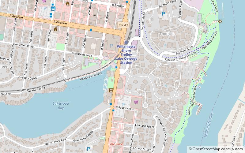
Oregon Route 43 is an Oregon state highway that runs between the cities of Oregon City and Portland, mostly along the western flank of the Willamette River. While it is technically known by the Oregon Department of Transportation as the Oswego Highway No. 3, on maps it is referred to by its route number or by the various street names it has been given. ()
Coordinates: 45°25'2"N, 122°39'47"W
Address
Lake Oswego (Foothills)Lake Oswego
ContactAdd
Social media
Add
Day trips
Oregon Route 43 – popular in the area (distance from the attraction)
Nearby attractions include: Centers for Spiritual Living, Lake Oswego Railroad Bridge, Willamette Shore Trolley, Elliott R. Corbett House.
Frequently Asked Questions (FAQ)
Which popular attractions are close to Oregon Route 43?
Nearby attractions include Willamette Shore Trolley, Lake Oswego (2 min walk), Lake Oswego Public Library, Lake Oswego (14 min walk), Lake Oswego Railroad Bridge, Lake Oswego (18 min walk), Centers for Spiritual Living, Lake Oswego (19 min walk).
How to get to Oregon Route 43 by public transport?
The nearest stations to Oregon Route 43:
Bus
Train
Bus
- North State & Foothills • Lines: 35, 36 (2 min walk)
- A Avenue & Second Street • Lines: 35, 36 (5 min walk)
Train
- Willamette Shore Trolley Lake Oswego Station (3 min walk)


