Carroll Avenue, Los Angeles
Map
Gallery
Facts and practical information
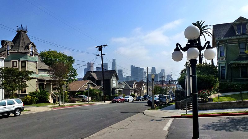
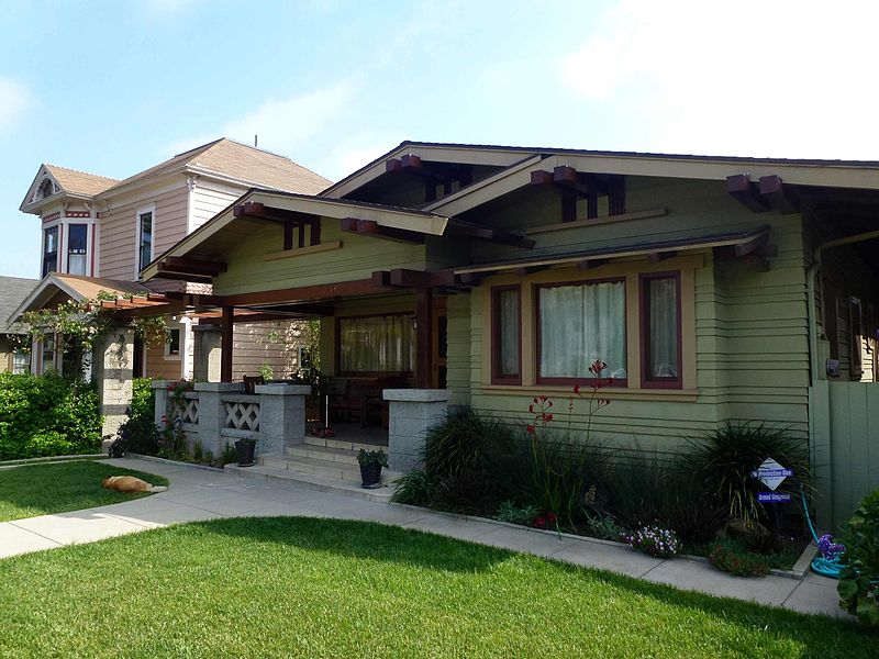
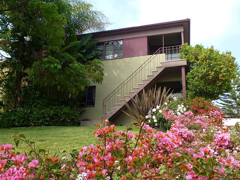
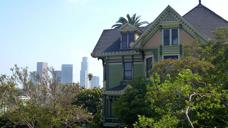
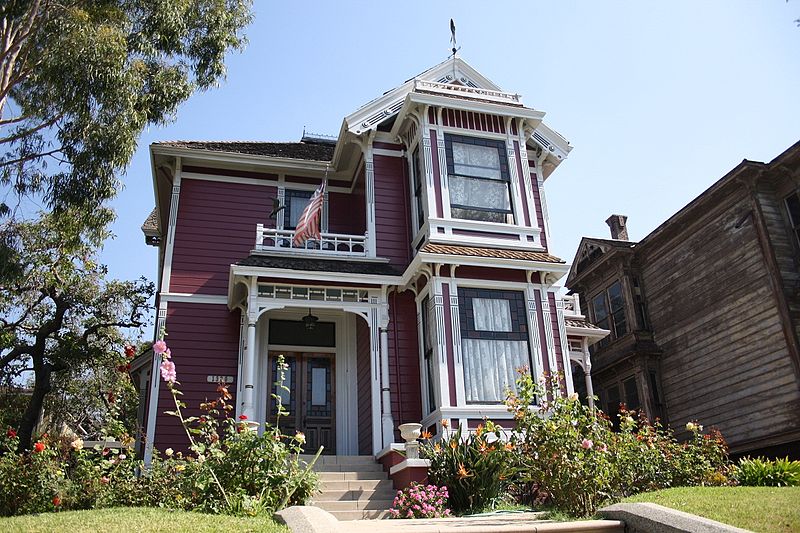
Carroll Avenue is a street situated in Los Angeles, near Echo Park. It is in Angelino Heights, one of the older neighborhoods of Los Angeles. It consists of Victorian-era houses within a picturesque neighborhood, which has served as the backdrop for countless motion pictures from the earliest days of cinema to the present. ()
Built: 1887 (139 years ago)Coordinates: 34°4'11"N, 118°15'18"W
Address
Central Los Angeles (Greater Echo Park Elysian)Los Angeles
ContactAdd
Social media
Add
Day trips
Carroll Avenue – popular in the area (distance from the attraction)
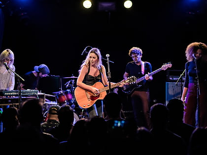
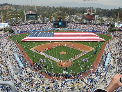
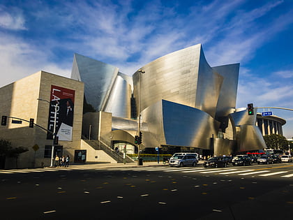
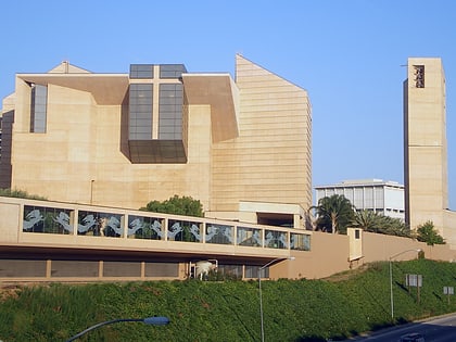
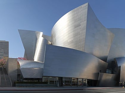
Nearby attractions include: The Echo, Dodger Stadium, Walt Disney Concert Hall, Cathedral of Our Lady of the Angels.
Frequently Asked Questions (FAQ)
Which popular attractions are close to Carroll Avenue?
Nearby attractions include Foy House, Los Angeles (2 min walk), Angelino Heights, Los Angeles (2 min walk), SC Geier House, Los Angeles (4 min walk), Neutra/Maxwell House, Los Angeles (4 min walk).
How to get to Carroll Avenue by public transport?
The nearest stations to Carroll Avenue:
Bus
Metro
Light rail
Bus
- Temple & Douglas • Lines: 10 (5 min walk)
- Sunset & Marion • Lines: 4 (8 min walk)
Metro
- Civic Center/Grand Park • Lines: B, D (29 min walk)
- Westlake/MacArthur Park • Lines: B, D (38 min walk)
Light rail
- Chinatown • Lines: L (30 min walk)
- Union Station • Lines: L (38 min walk)



 Metro & Regional Rail