Venado Peak, Latir Peak Wilderness
Map

Map

Facts and practical information
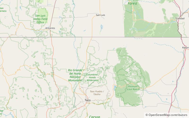
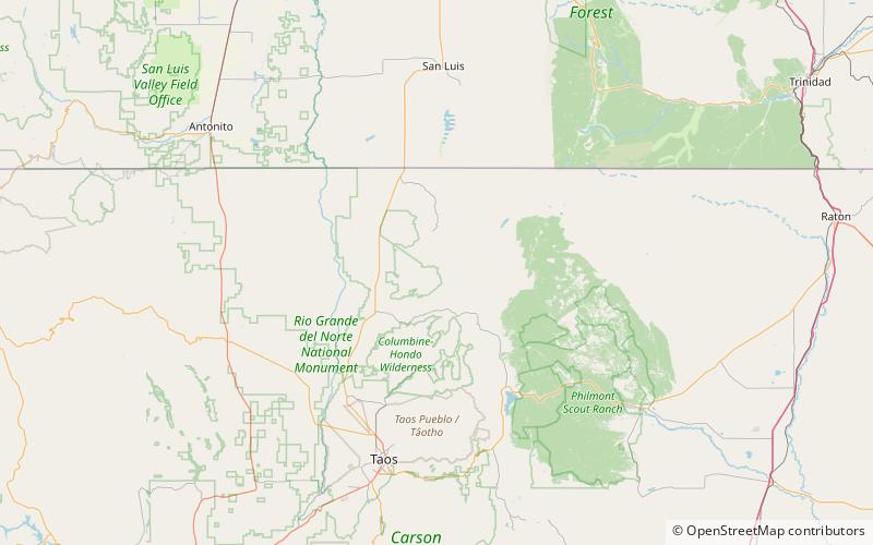
Venado Peak is one of the major peaks of the Taos Mountains group of the Sangre de Cristo Mountains, a subrange of the Rocky Mountains. It is located in Taos County, New Mexico, about 8 miles northeast of the town of Questa. Its summit is the highest point in the Latir Peak Wilderness, part of Carson National Forest. The peak's name means "deer" in Spanish. ()
Elevation: 12739 ftProminence: 2934 ftCoordinates: 36°47'30"N, 105°29'35"W
Address
Latir Peak Wilderness
ContactAdd
Social media
Add
Day trips
Venado Peak – popular in the area (distance from the attraction)
Nearby attractions include: Baldy Mountain, Venado Peak.


