Smith Canal, Stockton
Map

Map

Facts and practical information
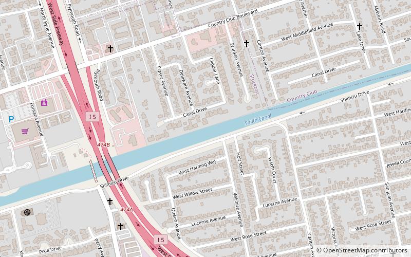
The Smith Canal is a former barge canal in Stockton, California, United States. It currently runs approximately 2.4 miles east-northeast from the San Joaquin River, although it previously ran about 0.65 miles further to El Dorado Street. It was built to carry agricultural produce to the Stockton State Hospital. Today the canal is lined with residential homes and docks for pleasure boats. ()
Coordinates: 37°57'45"N, 121°19'48"W
Address
PacificStockton
ContactAdd
Social media
Add
Day trips
Smith Canal – popular in the area (distance from the attraction)
Nearby attractions include: Haggin Museum, University of the Pacific, Port of Stockton, Buddhist Church of Stockton.
Frequently Asked Questions (FAQ)
Which popular attractions are close to Smith Canal?
Nearby attractions include Buddhist Church of Stockton, Stockton (11 min walk), Stockton Channel, Stockton (22 min walk), Haggin Museum, Stockton (23 min walk).


