Harbor Gateway, Torrance
Map

Gallery

Facts and practical information
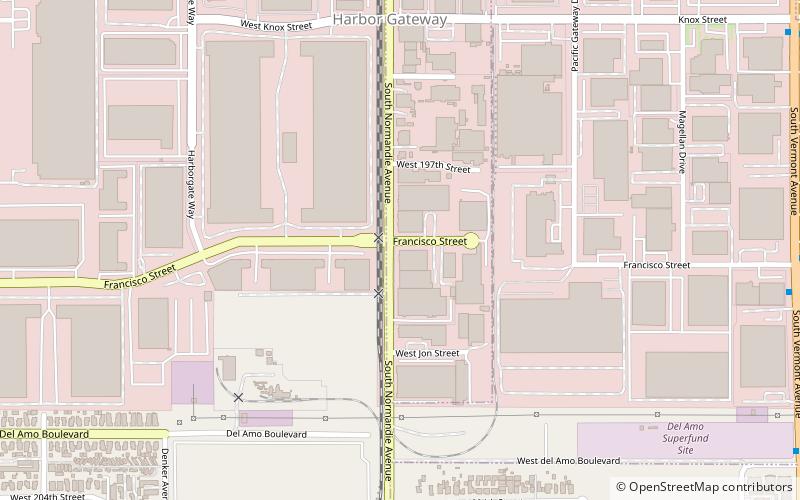
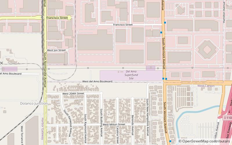
The Harbor Gateway is a 5.14-square-mile residential and industrial area in the Los Angeles Harbor Region, in the southern part of the city. The neighborhood is narrow and long, running along a north-south axis. Its unusual shape has given it the alternative name of "the Shoestring Strip". The northern limit of the neighborhood is Imperial Highway, a city street just north of I-105. ()
Coordinates: 33°51'0"N, 118°17'56"W
Address
Harbor (Gateway L.A.)Torrance
ContactAdd
Social media
Add
Day trips
Harbor Gateway – popular in the area (distance from the attraction)
Nearby attractions include: Toyota USA Automobile Museum, Pacific Electric Railroad Bridge, Torrance Antique Street Faire, International Printing Museum.
Frequently Asked Questions (FAQ)
How to get to Harbor Gateway by public transport?
The nearest stations to Harbor Gateway:
Bus
Bus
- Vermont/Francisco • Lines: 1 (13 min walk)
- Torrance/Normandie • Lines: 1 (15 min walk)


