Great Falls Historic District, Windham
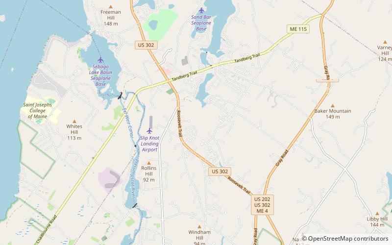
Map

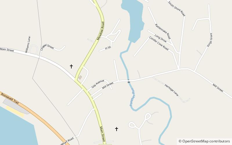
Map

Facts and practical information
The Great Falls Historic District encompasses the remains of an early 19th-century mill hamlet in Windham, Maine. On the east bank of the Presumpscot River north of Windham Center Road are a cluster of three houses from the period, as well as the archaeological remains of a few mills that lined the river at the falls just north of the road. The district was listed on the National Register of Historic Places in 1995. ()
Built: 1798 (228 years ago)Area: 21 acres (0.0328 mi²)Coordinates: 43°49'25"N, 70°25'43"W
Address
Windham
ContactAdd
Social media
Add
Day trips
Great Falls Historic District – popular in the area (distance from the attraction)
Nearby attractions include: Seacoast Adventure, Panther Pond, Gray Public Library, Frye Island.


