Cedar Creek Wind Farm, Pawnee National Grassland

Gallery (2)
Map
Map
Gallery
Facts and practical information
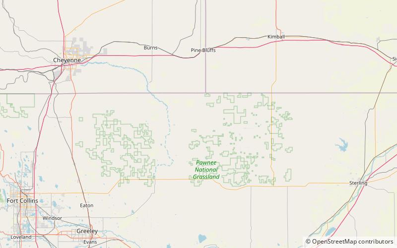
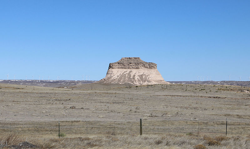
The Cedar Creek Wind Farm is a 551.3 megawatt wind farm located about 8 miles east of the town of Grover in north-central Weld County, Colorado. It consists of 397 wind turbines and was constructed in two phases, Cedar Creek I and Cedar Creek II, becoming fully operational in 2010. The electricity is sold to the Public Service Company of Colorado. ()
Coordinates: 40°52'16"N, 104°5'35"W
Address
Pawnee National Grassland
ContactAdd
Social media
Add