East End, Richmond
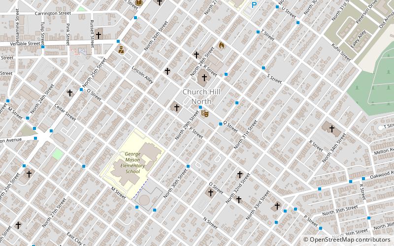
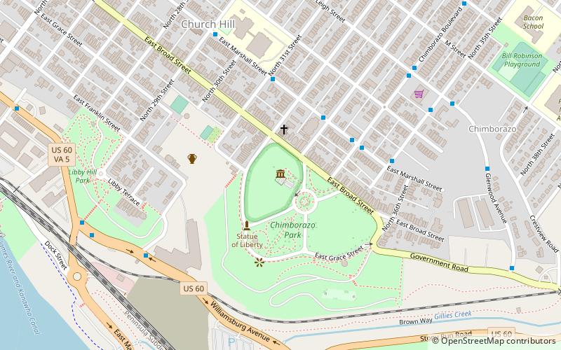
Map
Facts and practical information
The East End of Richmond, Virginia is the quadrant of the City of Richmond, Virginia, and more loosely the Richmond metropolitan area, east of the downtown. ()
Coordinates: 37°32'8"N, 77°24'32"W
Address
Church Hill NorthRichmond
ContactAdd
Social media
Add
Getting there by public transportation
Public transportation stops near this location
- Train
 Train
Train
- Calculate routeRichmond Main Street 29 min walk
Day trips


Frequently Asked Questions (FAQ)
Which popular attractions are close to East End?
Nearby attractions include Fourth Baptist Church, Richmond (2 min walk), Springfield School, Richmond (10 min walk), Nathaniel Bacon School, Richmond (11 min walk), Leigh Street Baptist Church, Richmond (11 min walk).
How to get to East End by public transport?
The nearest stations to East End:
Train
Train
- Richmond Main Street (29 min walk)