Cedar Street Bridge, Peoria
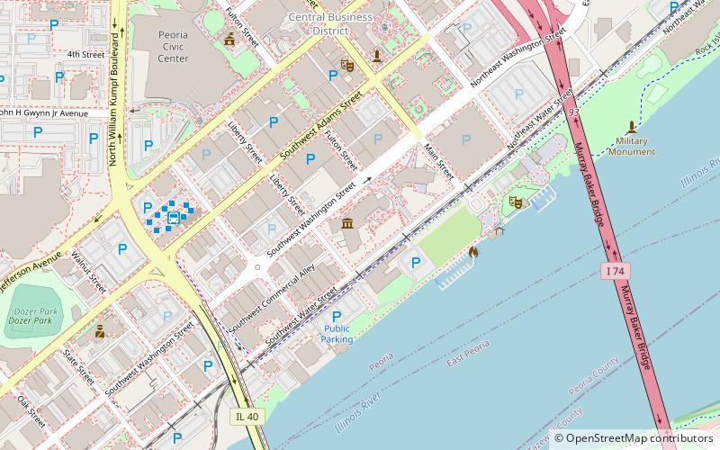
Map
Map

Facts and practical information
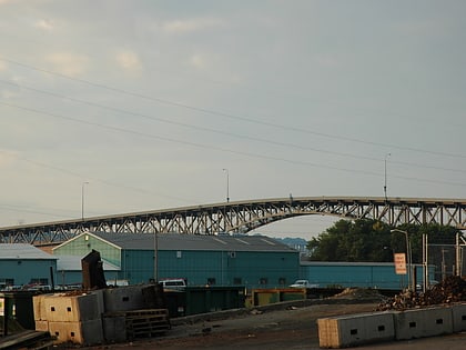
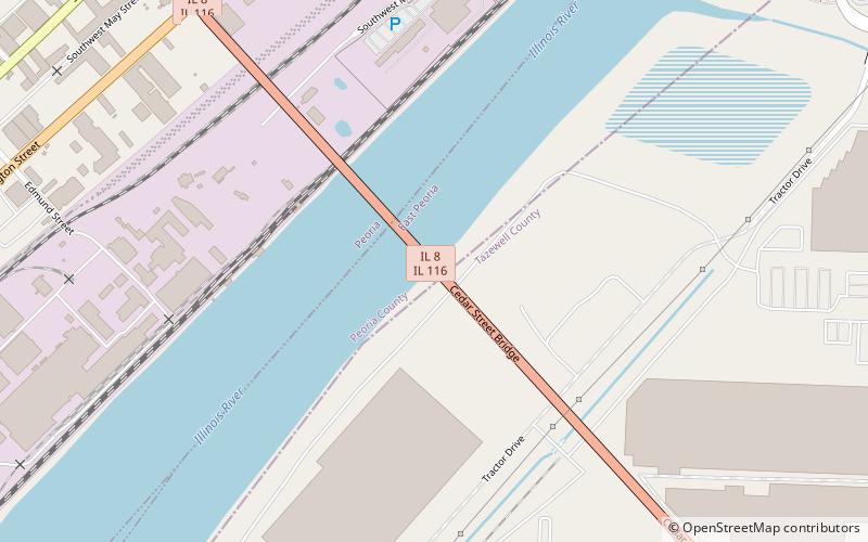
The Cedar Street Bridge carries Illinois Route 8 and Illinois Route 116 over the Illinois River. The bridge is a steel arch design that rises approximately 70 to 80 feet above the surface of the river. The name of the bridge comes from the original name of its street on the Peoria side of the river; the street itself is now called MacArthur Highway, while the bridge is still referred to as Cedar Street. ()
Opened: 1932 (94 years ago)Coordinates: 40°40'36"N, 89°35'58"W
Address
Downtown East PeoriaPeoria
ContactAdd
Social media
Add
Day trips
Cedar Street Bridge – popular in the area (distance from the attraction)
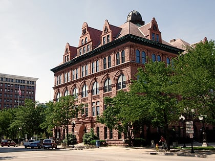
Nearby attractions include: Dozer Park, Peoria Riverfront Museum, Peoria City Hall, Spirit of Peoria.
Frequently Asked Questions (FAQ)
Which popular attractions are close to Cedar Street Bridge?
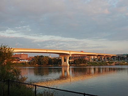
Nearby attractions include Bob Michel Bridge, Peoria (17 min walk), Dozer Park, Peoria (19 min walk), Lincoln Branch Peoria Public Library, Peoria (21 min walk).
