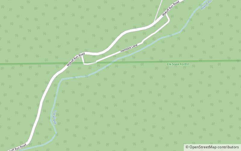
Sinnemahoning Path, Elk State Park

Map
Facts and practical information
The Sinnemahoning Path is an ancient trail which passes through what will be called Keating on its way to the upper Alleghenies. The Sinnemahoning Path followed the West Branch of the Susquehanna from “the Great Island” at Lock Haven to the Sinnemahoning Creek at Keating, to Portage Creek, then to Canoe Place near Port Allegany, Pennsylvania and on to the Seneca country in the upper Alleghenies. ()
Coordinates: 41°17'38"N, 78°6'43"W
Address
Elk State Park
ContactAdd
Social media
Add
Day trips
Sinnemahoning Path – popular in the area (distance from the attraction)
Nearby attractions include: Quehanna Wild Area, Wykoff Run Natural Area.

