Cerro Pedernal, Santa Fe National Forest
Map
Gallery

Facts and practical information
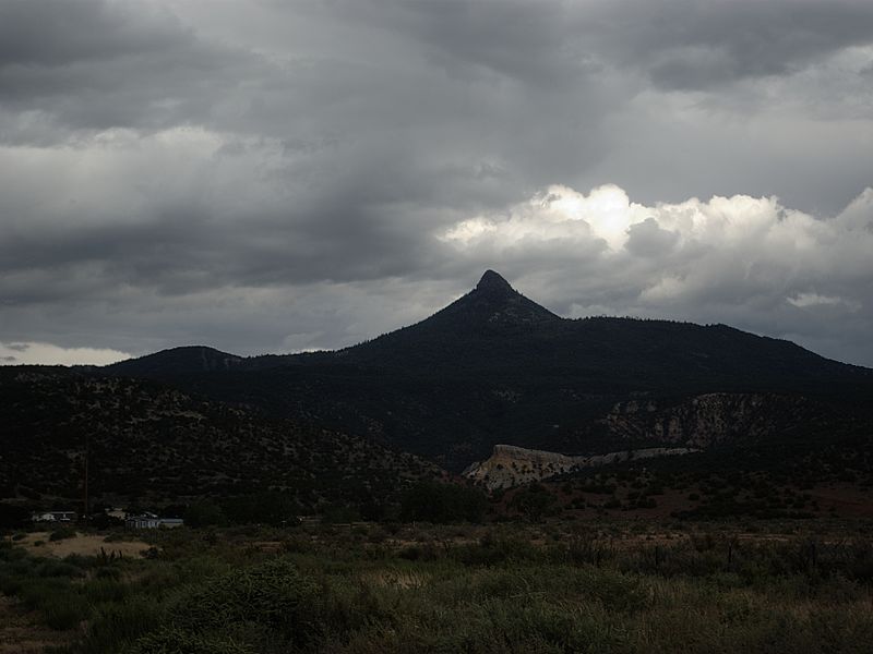
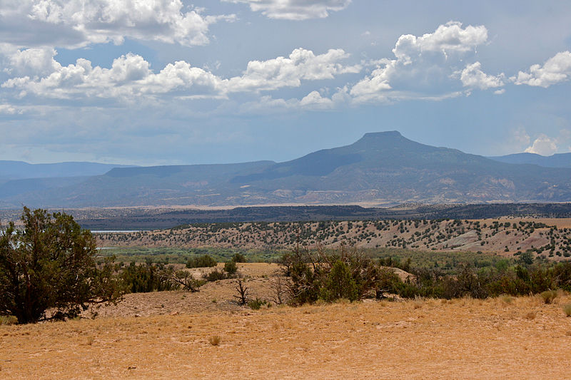
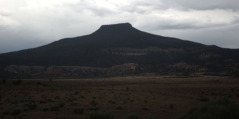
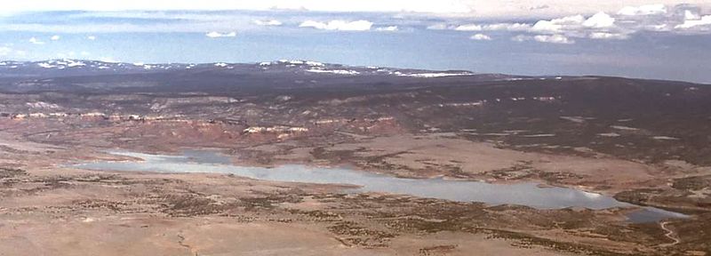
Cerro Pedernal, locally known as just "Pedernal", is a narrow mesa in northern New Mexico. The name is Spanish for "flint hill". The mesa lies on the north flank of the Jemez Mountains, south of Abiquiu Lake, in the Coyote Ranger District of the Santa Fe National Forest. Its caprock was produced in the Jemez Volcanic Field. Its highest point is 9,862 feet. ()
Elevation: 9866 ftProminence: 1362 ftCoordinates: 36°9'47"N, 106°30'14"W
Address
Santa Fe National Forest
ContactAdd
Social media
Add


