Civic Center, New York City
Map
Gallery
Facts and practical information
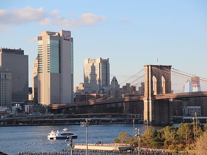
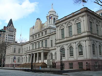
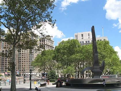
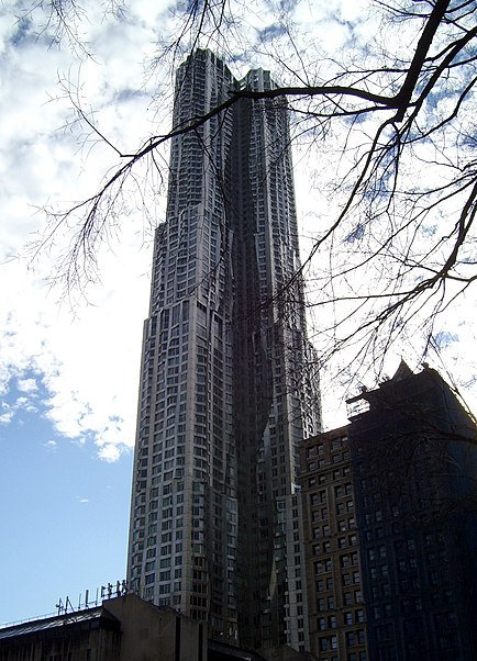
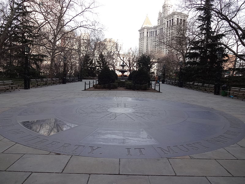
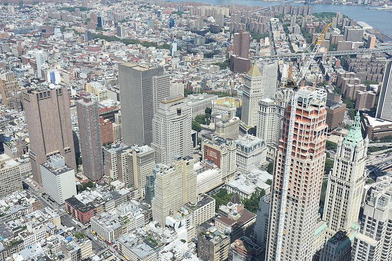
The Civic Center is the area and neighborhood of Lower Manhattan, Manhattan, New York City, that encompasses New York City Hall, One Police Plaza, the courthouses in Foley Square, the Metropolitan Correctional Center and the surrounding area. The district is bound on the west by Tribeca at Broadway, on the north by Chinatown at Worth Street or Bayard Street, on the east by the East River and the Brooklyn Bridge at South Street, and on the south by the Financial District at Ann Street. ()
Address
Downtown Manhattan (Civic Center)New York City
ContactAdd
Social media
Add
Day trips
Civic Center – popular in the area (distance from the attraction)
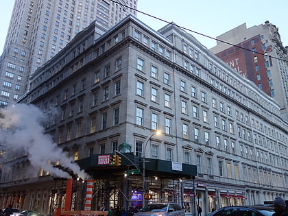
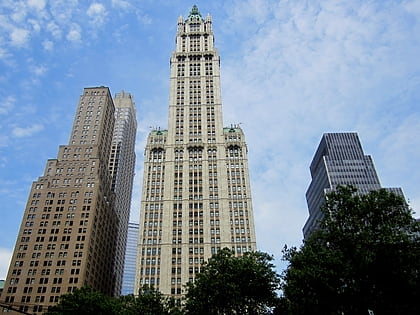
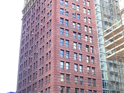
Nearby attractions include: 280 Broadway, St. Paul's Chapel, 375 Pearl Street, Woolworth Building.
Frequently Asked Questions (FAQ)
Which popular attractions are close to Civic Center?
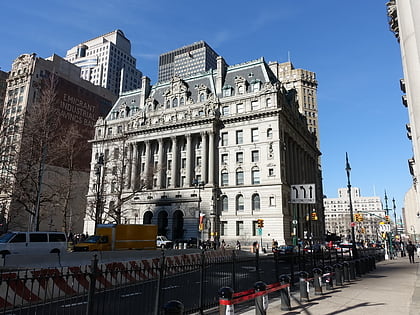
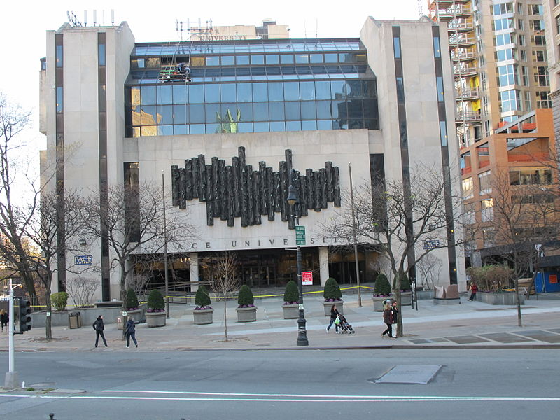
Nearby attractions include City Hall, New York City (2 min walk), Surrogate's Courthouse, New York City (2 min walk), 1 Pace Plaza, New York City (2 min walk), 49 Chambers, New York City (3 min walk).
How to get to Civic Center by public transport?
The nearest stations to Civic Center:
Metro
Bus
Ferry
Metro
- Brooklyn Bridge–City Hall • Lines: <6>, 4, 5, 6 (2 min walk)
- City Hall • Lines: N, R, W (2 min walk)
Bus
- Broadway/Warren Street • Lines: M55 (3 min walk)
Ferry
- Brookfield Place / Battery Park City Ferry Terminal (17 min walk)
- Pier 11/Wall Street Terminal (19 min walk)



 Subway
 Manhattan Buses