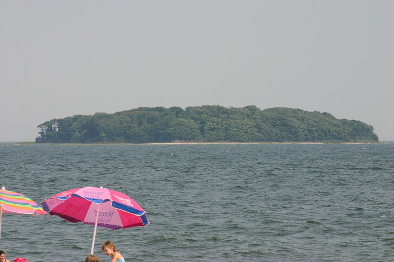
Charles Island, Silver Sands State Park

Gallery (2)
Map
Map
Gallery
Facts and practical information
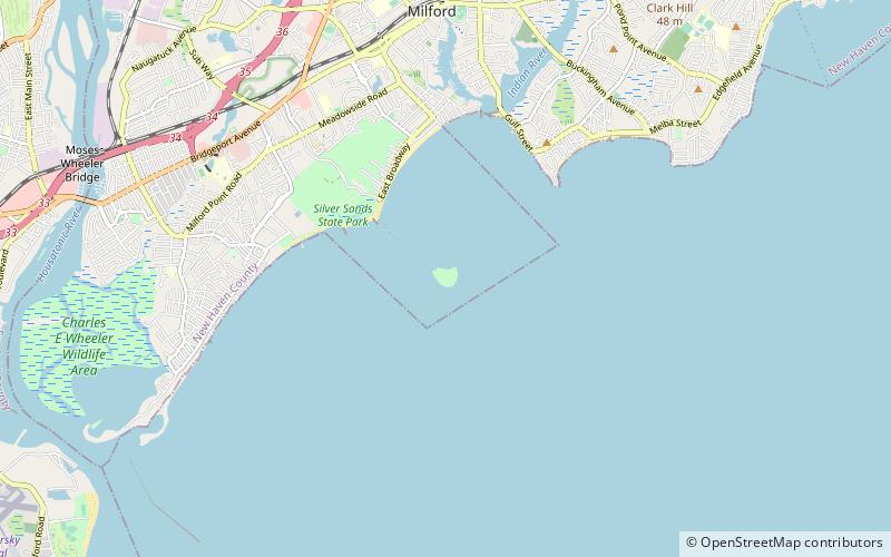
Charles Island is a 14-acre island located roughly 0.5 mile off the coast of Milford, Connecticut, in Long Island Sound centered at 41°11′28.32″N 73°03′18″W. ()
Address
Silver Sands State Park
ContactAdd
Social media
Add
Day trips