Charleston Light, Sullivan's Island
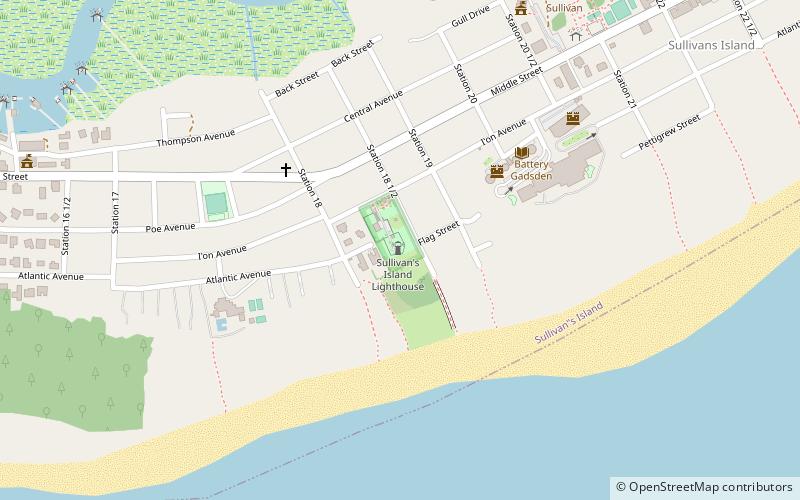
Map
Gallery
Facts and practical information
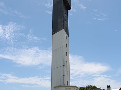
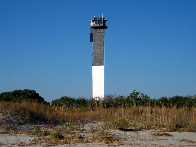
Charleston Light, also known as Sullivan's Island Lighthouse, is located on Sullivan's Island, South Carolina, which is the northern entrance to Charleston Harbor. The lighthouse was erected to replace the defunct Morris Island Light on Morris Island, which was at risk of being destroyed by erosion, but remains standing and was stabilized in 2010. Construction was started in 1960, and it was first lit on June 15, 1962. ()
Coordinates: 32°45'28"N, 79°50'36"W
Address
Sullivan's IslandSullivan's Island
ContactAdd
Social media
Add
Day trips
Charleston Light – popular in the area (distance from the attraction)
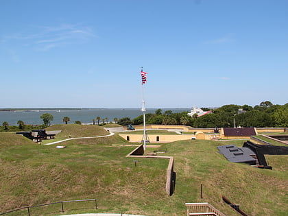
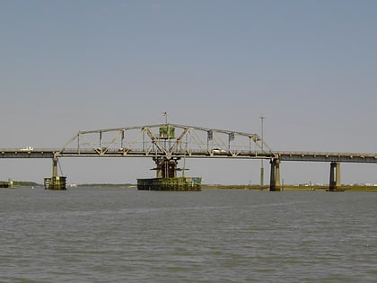
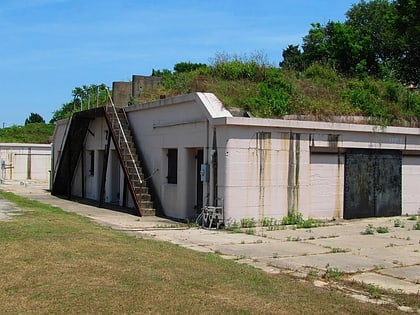
Nearby attractions include: Fort Moultrie, Ben Sawyer Bridge, Stella Maris Catholic Church, Battery Gadsden.
Frequently Asked Questions (FAQ)
Which popular attractions are close to Charleston Light?
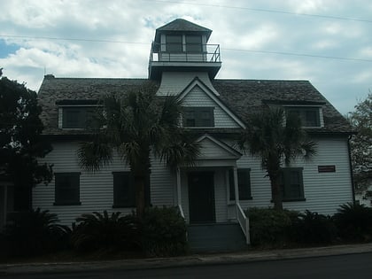
Nearby attractions include U.S. Coast Guard Historic District, Charleston (1 min walk), Battery Gadsden, Sullivan's Island (5 min walk), Fort Moultrie, Sullivan's Island (22 min walk), Stella Maris Catholic Church, Sullivan's Island (24 min walk).
