Lower Clarendon Gorge State Forest, Rutland

Map
Facts and practical information
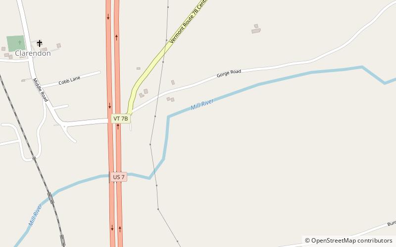
Lower Clarendon Gorge State Forest, also known as Lower Clarendon Gorge State Park, covers 73 acres around Lower Clarendon Gorge on Mill River in Clarendon, Vermont. The site was donated to the state by the Vermont River Conservancy in the 2000s. ()
Coordinates: 43°30'58"N, 72°57'50"W
Day trips
Lower Clarendon Gorge State Forest – popular in the area (distance from the attraction)
Nearby attractions include: West Rutland Town Hall, Diamond Run Mall.

