Sunnyside, Denver
Map
Facts and practical information
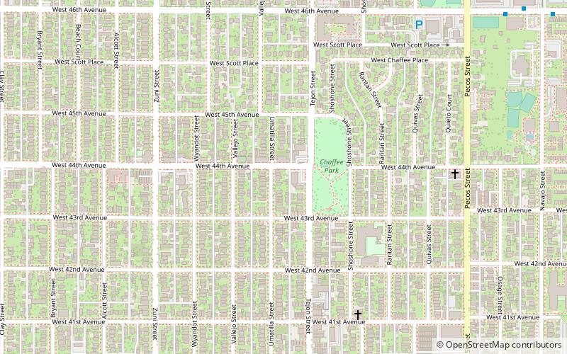
Sunnyside is a city-center neighborhood in Denver, Colorado, located in the Northside of Denver, west of Interstate 25. ()
Coordinates: 39°46'35"N, 105°0'43"W
Address
Northwest Denver (Sunnyside)Denver
ContactAdd
Social media
Add
Getting there by public transportation
Public transportation stops near this location
- Bus
- Train
 Bus
Bus
- Calculate routePecos Street & West 46th Avenue 11 min walk
- Calculate routeWest 46th Avenue & Navajo Street 13 min walk
- Calculate route41st & Fox 22 min walk
Day trips


Frequently Asked Questions (FAQ)
Which popular attractions are close to Sunnyside?
Nearby attractions include Equinox Theatre Denver, Denver (19 min walk), Chaffee Park, Denver (21 min walk), Highland, Denver (23 min walk).
How to get to Sunnyside by public transport?
The nearest stations to Sunnyside:
Bus
Train
Bus
- Pecos Street & West 46th Avenue • Lines: 19 (11 min walk)
- West 46th Avenue & Navajo Street • Lines: 19 (13 min walk)
Train
- 41st & Fox (22 min walk)