Seabrook Bridge, New Orleans
Map
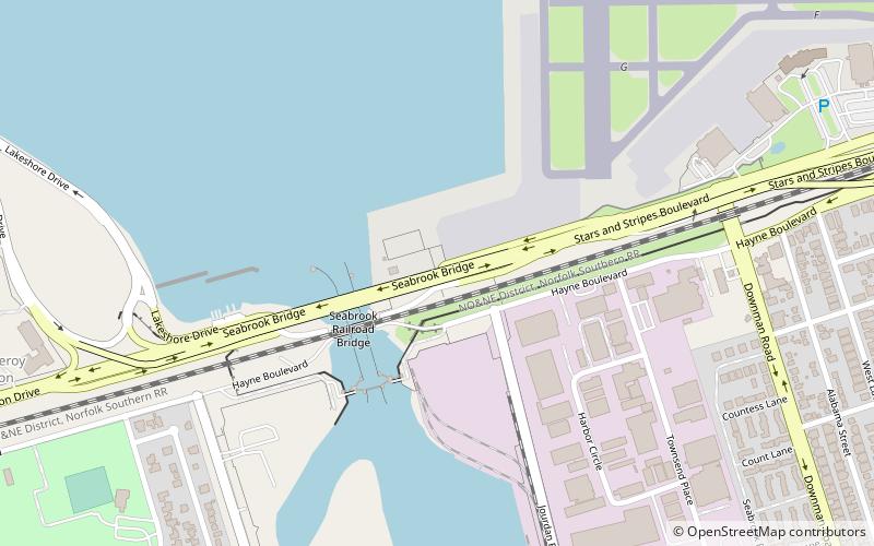
Map

Facts and practical information
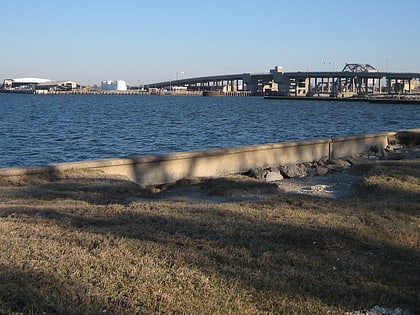
The Seabrook Bridge is a medium-rise twin bascule, four-lane roadway bridge in New Orleans, Louisiana, carrying Lakeshore Drive, connecting Leon C. Simon Drive on the upper side of the bridge with Hayne Boulevard on the lower side. The bridge is operated by the Orleans Levee District. It normally stays in the down position for vehicular traffic, but provides sufficient clearance for most marine traffic. ()
Coordinates: 30°1'56"N, 90°1'58"W
Address
New Orleans East (Little Woods)New Orleans
ContactAdd
Social media
Add
Day trips
Seabrook Bridge – popular in the area (distance from the attraction)
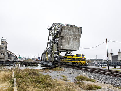
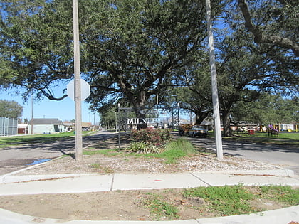
Nearby attractions include: Lakefront Arena, Seabrook Railroad Bridge, Industrial Canal, Milneburg.
Frequently Asked Questions (FAQ)
Which popular attractions are close to Seabrook Bridge?
Nearby attractions include Seabrook Railroad Bridge, New Orleans (3 min walk), Pontchartrain Park, New Orleans (22 min walk).
