Yesler Way, Seattle
Facts and practical information
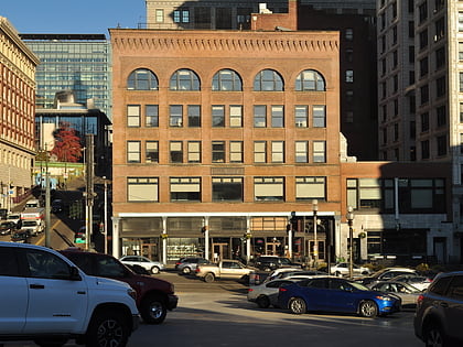
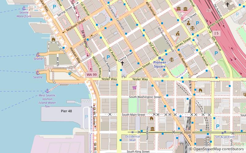
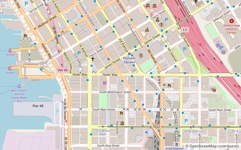
Yesler Way is an east–west street in Seattle named for Henry Yesler. East–west streets in Seattle south of Yesler Way are prefixed "South"; avenues are suffixed with "South" as they cross Yesler Way. The street originates at Alaskan Way on the downtown Seattle waterfront and runs east through Yesler Terrace, the Central District, and Leschi to just east of 32nd Avenue, where the arterial route switches to Lake Dell Avenue. A short residential segment of East Yesler Way, which it turns into east of Broadway, exists to the west of Lake Washington Boulevard. ()
Downtown Seattle (Pioneer Square)Seattle
Yesler Way – popular in the area (distance from the attraction)
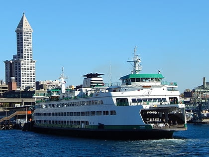
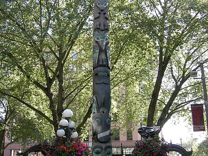
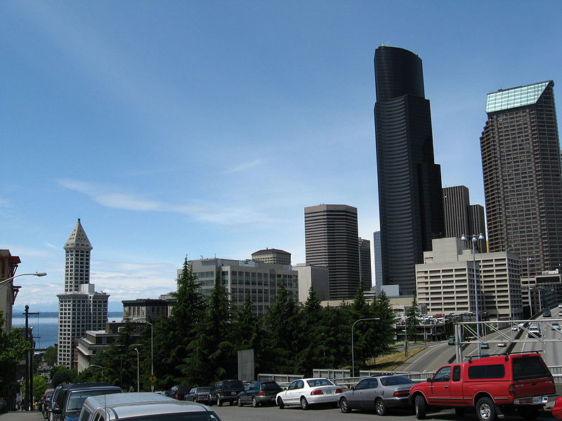
Nearby attractions include: Collins Pub, Smith Tower, Pioneer Square totem pole, Pioneer Square.
Frequently Asked Questions (FAQ)
Which popular attractions are close to Yesler Way?
How to get to Yesler Way by public transport?
Bus
- 2nd Ave Ext S & Yesler Way • Lines: 402, 405, 410, 415, 417, 422, 424, 550, 554, 594 (1 min walk)
- Yesler Way & 2nd Avenue South • Lines: 412, 413, 416, 421, 425, 435 (1 min walk)
Light rail
- Pioneer Square • Lines: 1 (2 min walk)
- International District/Chinatown • Lines: 1 (8 min walk)
Trolleybus
- Prefontaine Pl S & Yesler Way • Lines: 1, 13, 49 (3 min walk)
- 3rd Ave & Columbia St • Lines: 1, 13, 3, 4, 49 (4 min walk)
Tram
- Occidental Mall • Lines: First Hill Streetcar (5 min walk)
- 5th & Jackson • Lines: First Hill Streetcar (8 min walk)
Train
- Seattle King Street (8 min walk)
- Westlake Center (20 min walk)
Ferry
- West Seattle, Vashon Island Water Taxi • Lines: 339, West Seattle-Seattle (9 min walk)
- Seattle • Lines: Seattle-Bremerton, Seattle-Winslow (10 min walk)

