Cirrus, Seattle
Map
Map

Facts and practical information
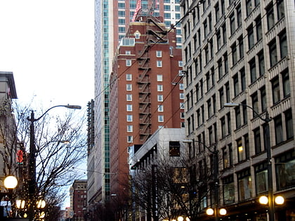
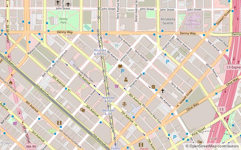
Cirrus is a 440-foot-tall residential skyscraper in the Denny Triangle neighborhood of Seattle, Washington. The building, named after the cirrus cloud, has 41 floors and is located at the intersection of Westlake Avenue, 8th Avenue and Lenora Street. Construction on Cirrus, then known as 2030 8th Avenue, began in May 2013 and opened in 2015. The building was originally designed for condominiums but was reconfigured for smaller apartments by architects Weber Thompson after GID Development desired a move to the rental market. ()
Opened: October 2015Floors: 41Coordinates: 47°36'59"N, 122°20'13"W
Day trips
Cirrus – popular in the area (distance from the attraction)
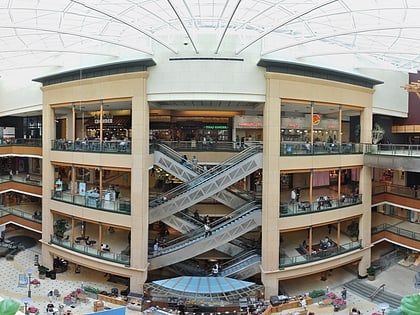
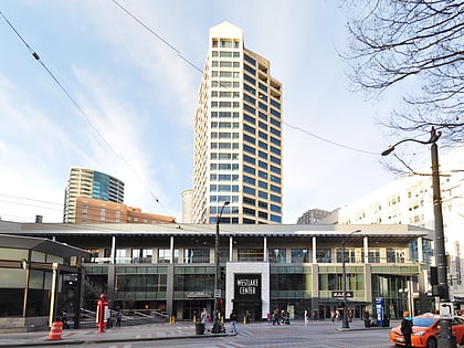
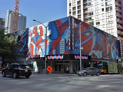
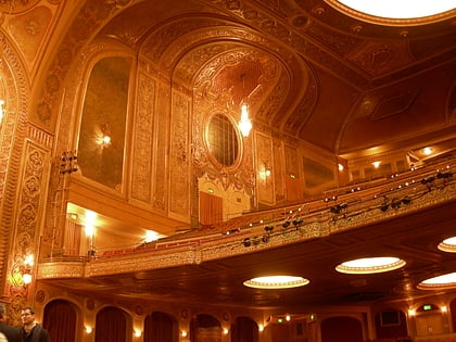
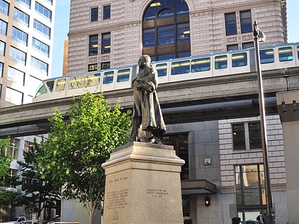
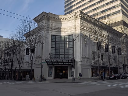
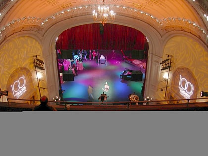
Nearby attractions include: Pacific Place, Westlake Center, Westlake Park, Cinerama.
Frequently Asked Questions (FAQ)
Which popular attractions are close to Cirrus?
Nearby attractions include Washington Talking Book & Braille Library, Seattle (1 min walk), Stratus, Seattle (2 min walk), Day 1, Seattle (4 min walk), Denny Triangle, Seattle (4 min walk).
How to get to Cirrus by public transport?
The nearest stations to Cirrus:
Tram
Bus
Train
Light rail
Trolleybus
Ferry
Tram
- Westlake & 7th • Lines: South Lake Union Streetcar (3 min walk)
- Pacific Place • Lines: South Lake Union Streetcar (7 min walk)
Bus
- Stewart St & 9th Ave • Lines: 311, 402, 405, 410, 412, 413, 415, 416, 417, 421, 422, 424, 425, 435, 510, 545, 577, 578, 594 (4 min walk)
- Denny Way & Westlake Ave • Lines: 8 (5 min walk)
Train
- Westlake Center (8 min walk)
- Seattle Center (18 min walk)
Light rail
- Westlake • Lines: 1 (9 min walk)
- University Street • Lines: 1 (16 min walk)
Trolleybus
- 3rd Ave & Virginia St • Lines: 1, 13, 2, 3, 4 (9 min walk)
- 3rd Ave & Seneca St • Lines: 1, 13, 3, 4, 49 (18 min walk)
Ferry
- Seattle • Lines: Seattle-Bremerton, Seattle-Victoria, Seattle-Winslow (26 min walk)
- Seattle Waterfront • Lines: Seattle-Blake Island (21 min walk)

