Council Road RV Park, Oklahoma City
Map
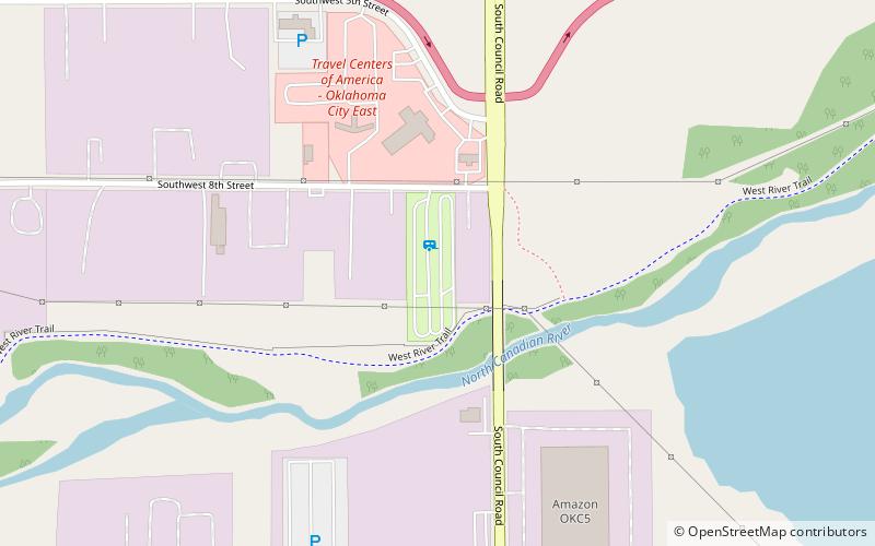
Map

Facts and practical information
Council Road RV Park (address: 8108 SW 8th St) is a place located in Oklahoma City (Oklahoma state) and belongs to the category of relax in park, park.
It is situated at an altitude of 1214 feet, and its geographical coordinates are 35°27'20"N latitude and 97°39'19"W longitude.
Among other places and attractions worth visiting in the area are: OKC Outlets (shopping, 16 min walk), MacArthur Park Raceway (sport venue, 47 min walk), Sikh Gurudwara of Oklahoma City (temple, 94 min walk).
Elevation: 1214 ft a.s.l.Coordinates: 35°27'20"N, 97°39'19"W
Day trips
Council Road RV Park – popular in the area (distance from the attraction)
Nearby attractions include: Six Flags Hurricane Harbor Water Park, OKC Outlets, Oklahoma City Community College, Will Rogers Gardens.


