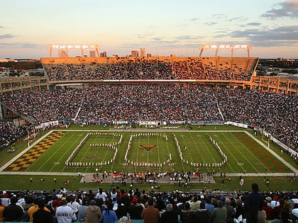
City Island, Daytona Beach
Map
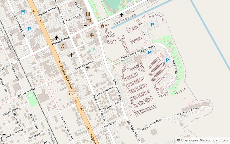
Map

Facts and practical information
City Island, Daytona Beach, Florida, United States, is an island in the Halifax River between mainland Florida and the barrier islands/outer banks. Buildings on the island include the Daytona Tortugas' Jackie Robinson Ballpark, the city's courthouse, and the main branch of the Volusia County Library. ()
Coordinates: 29°12'19"N, 81°0'58"W
Address
Neighborhood EDaytona Beach
ContactAdd
Social media
Add
Day trips
City Island – popular in the area (distance from the attraction)
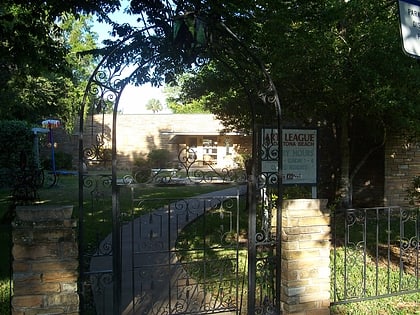
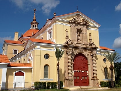
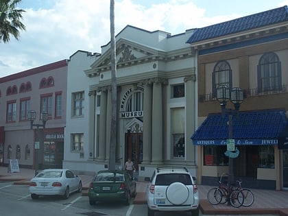
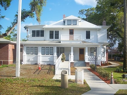
Nearby attractions include: Radiology Associates Field at Jackie Robinson Ballpark, The Art League of Daytona Beach, Basilica of St. Paul, Halifax Historical Museum.
Frequently Asked Questions (FAQ)
Which popular attractions are close to City Island?
Nearby attractions include South Beach Street Historic District, Daytona Beach (3 min walk), The Art League of Daytona Beach, Daytona Beach (3 min walk), Halifax Harbor Marina, Daytona Beach (5 min walk), Halifax Historical Museum, Daytona Beach (7 min walk).
How to get to City Island by public transport?
The nearest stations to City Island:
Bus
Bus
- Daytona Beach, FL (13 min walk)


